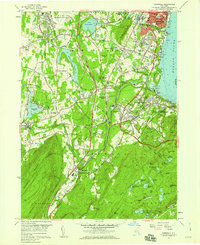
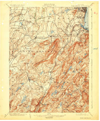
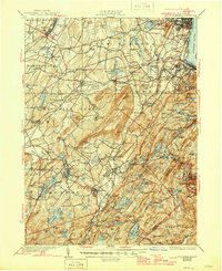
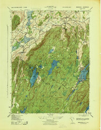
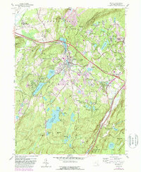
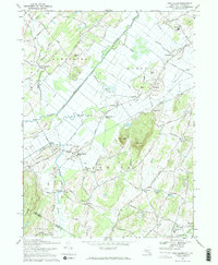
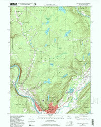
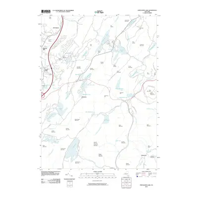
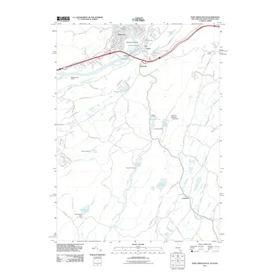
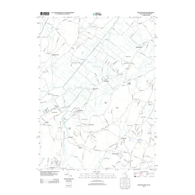
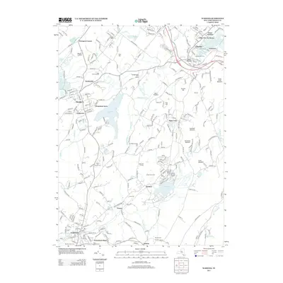
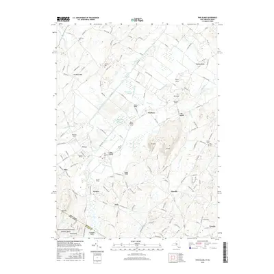
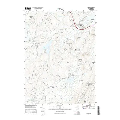
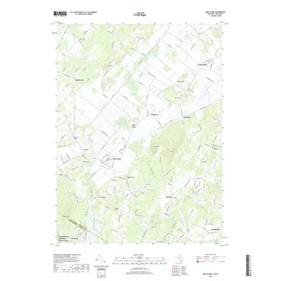
1957 Map of Cornwall
USGS Topo · Published 1959About this map
Newburgh and its southern neighboring townships anchor this late-1950s study of the Hudson River's western shore. The landscape is defined by a dense mixture of military, educational, and religious institutions, from the northern airfield at Stewart Air Force Base to the northern edge of the U.S. Military Academy West Point in the Highlands. Significant industrial and transport infrastructure is evident, including the Catskill Aqueduct and a complex rail network featuring the Erie RR and New York Central RR.
Find a feature on this map
92 named features on this map. Tap any name to fly to it.
Don’t see what you’re looking for? This feature index may not catch every label — zoom into the map to look around manually.
Map Details
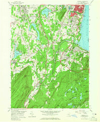
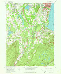
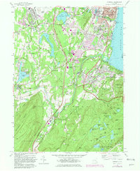
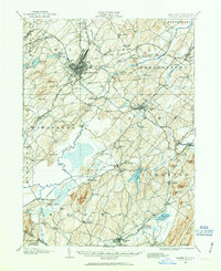
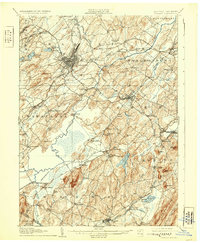
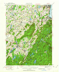
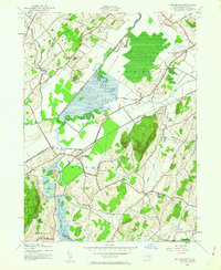
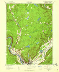
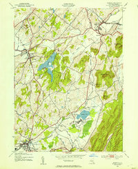
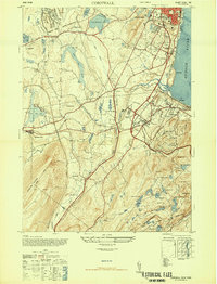
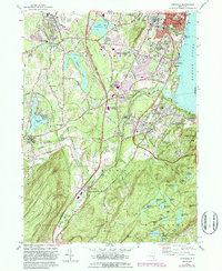
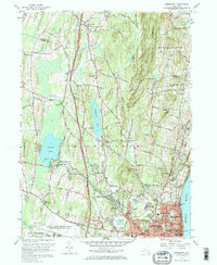
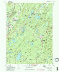
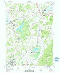
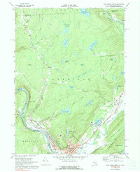
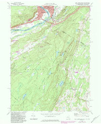
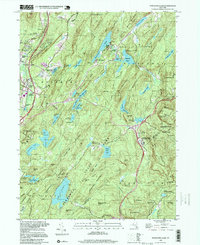
Editions of this 1957 Cornwall Map
5 editions found
Historical Maps of Newburgh Through Time
75 maps found
1902 Schunemunk
Orange County, NY
1906 Goshen
Orange County, NY
1908 Goshen
Orange County, NY
1930 Schunemunk
Orange County, NY
1935 Schunemunk
Orange County, NY

1938 Goshen
Orange County, NY

1942 Goshen
Orange County, NY
1942 Pine Island
Orange County, NY
1942 Port Jervis North
Orange County, NY

1943 Goshen
Orange County, NY

1943 Pinebush
Orange County, NY

1943 Pine Island
Orange County, NY

1943 Port Jervis North
Orange County, NY
1943 Warwick
Orange County, NY
1943 Wawayanda
Orange County, NY

1946 Goshen
Orange County, NY

1946 Popolopen Lake
Orange County, NY
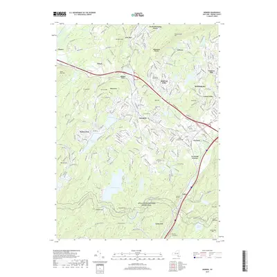
1947 Cornwall
Orange County, NY

1947 Newburgh North
Orange County, NY

1947 Popolopen Lake
Orange County, NY

1949 Port Jervis South
Orange County, NY

1953 Port Jervis South
Orange County, NY
1957 Cornwall
Orange County, NY
1957 Goshen
Orange County, NY
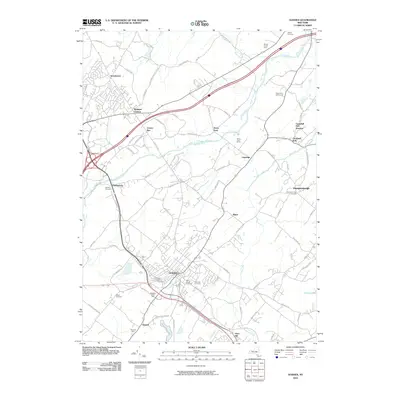
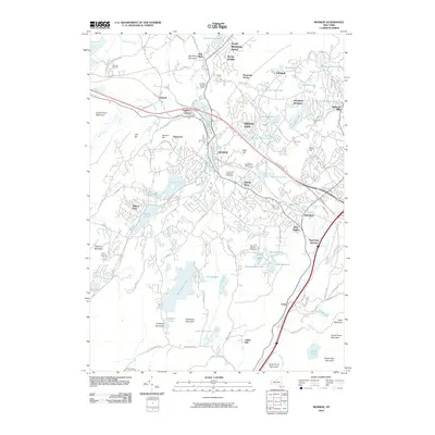
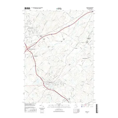
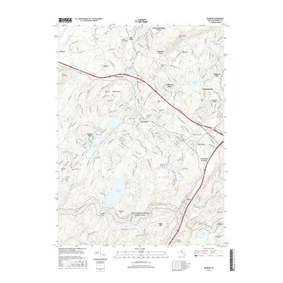
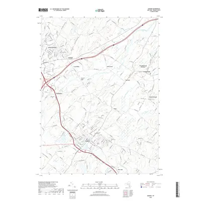
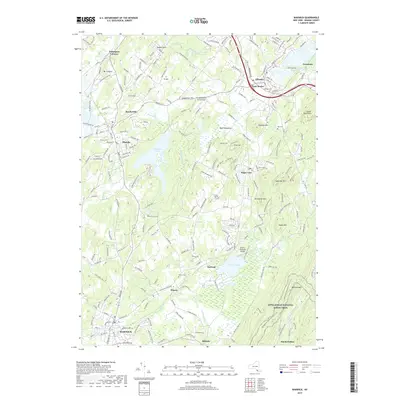
1957 Monroe
Orange County, NY
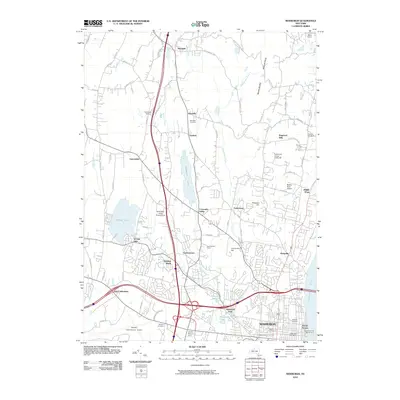
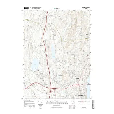
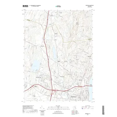
1957 Newburgh
Orange County, NY
1957 Popolopen Lake
Orange County, NY
1957 Warwick
Orange County, NY
1969 Pine Island
Orange County, NY
1969 Port Jervis North
Orange County, NY
1969 Port Jervis South
Orange County, NY

1992 Port Jervis North
Orange County, NY
1994 Popolopen Lake
Orange County, NY

1995 Port Jervis South
Orange County, NY
1997 Port Jervis North
Orange County, NY
2010 Goshen
Orange County, NY
2010 Monroe
Orange County, NY
2010 Newburgh
Orange County, NY
2010 Popolopen Lake
Orange County, NY
2010 Port Jervis North
Orange County, NY
2010 Warwick
Orange County, NY
2011 Pine Island
Orange County, NY
2011 Port Jervis South
Orange County, NY
2013 Goshen
Orange County, NY
2013 Monroe
Orange County, NY
2013 Newburgh
Orange County, NY
2013 Pine Island
Orange County, NY
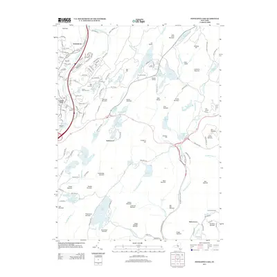
2013 Popolopen Lake
Orange County, NY
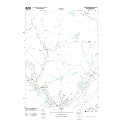
2013 Port Jervis North
Orange County, NY
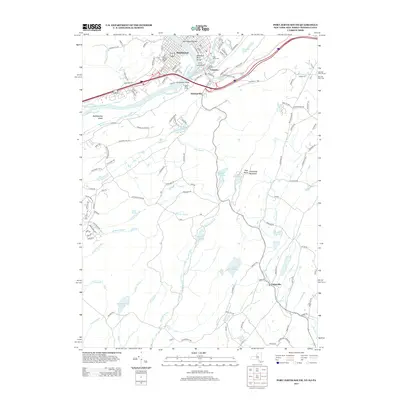
2013 Port Jervis South
Orange County, NY
2013 Warwick
Orange County, NY
2016 Goshen
Orange County, NY
2016 Monroe
Orange County, NY
2016 Newburgh
Orange County, NY
2016 Pine Island
Orange County, NY
2016 Popolopen Lake
Orange County, NY
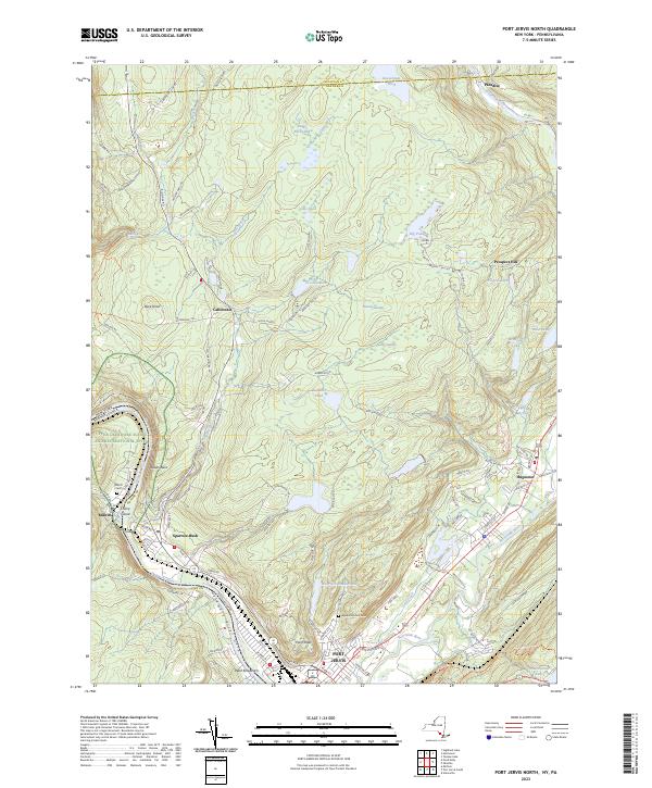
2016 Port Jervis North
Orange County, NY
2016 Port Jervis South
Orange County, NY
2016 Warwick
Orange County, NY
2019 Goshen
Orange County, NY
2019 Monroe
Orange County, NY
2019 Newburgh
Orange County, NY
2019 Pine Island
Orange County, NY
2019 Popolopen Lake
Orange County, NY
2019 Port Jervis North
Orange County, NY
2019 Port Jervis South
Orange County, NY
2019 Warwick
Orange County, NY

2023 Goshen
Orange County, NY

2023 Monroe
Orange County, NY

2023 Newburgh
Orange County, NY

2023 Pine Island
Orange County, NY

2023 Popolopen Lake
Orange County, NY
2023 Port Jervis North
Orange County, NY
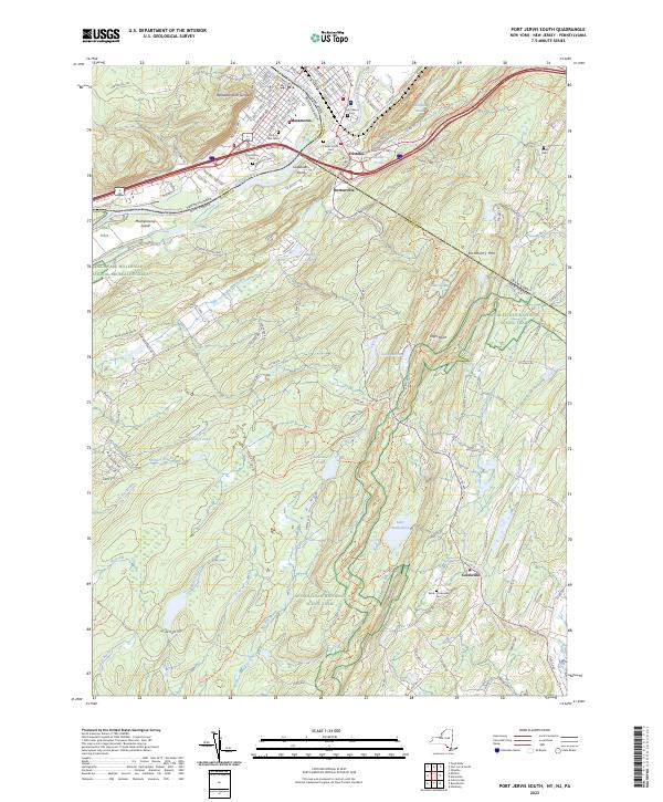
2023 Port Jervis South
Orange County, NY

2023 Warwick
Orange County, NY