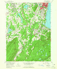
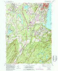
1957 Map of Cornwall
USGS Topo · Published 1965About this map
Newburgh and its southern neighbor New Windsor anchor this mid-century survey along the western bank of the Hudson River. The landscape reflects a mix of suburban growth and deeply rooted local history, marked by the prominent Temple Hill Monument and the Knox Headquarters. The riverfront remains an active corridor for the New York Central and Erie RR, while the interior is defined by the winding course of Moodna Creek and several older manufacturing sites like Salisbury Mills and Orrs Mill. To the south, the terrain rises sharply into the highlands of Palisades Interstate Park, where high-elevation reservoirs like Black Rock Reservoir and Bog Meadow Pond provided water for the region. The transition from the dense urban grid of Newburgh to the institutional grounds of the NY Mil Academy and the fringes of the U S Military Academy West Point illustrates the varied roles of this historic river valley during the postwar era.
Find a feature on this map
92 named features on this map. Tap any name to fly to it.
Don’t see what you’re looking for? This feature index may not catch every label — zoom into the map to look around manually.
Map Details
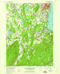
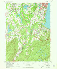
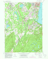
Editions of this 1957 Cornwall Map
5 editions found
Other maps of this area

1892 · West Point
USGS Topo · 1:62,500

1893 · Poughkeepsie
USGS Topo · 1:62,500

1894 · West Point
USGS Topo · 1:62,500

1894 · Poughkeepsie
USGS Topo · 1:62,500

1899 · West Point
USGS Topo · 1:62,500

1901 · West Point
USGS Topo · 1:62,500

1902 · Schunemunk
USGS Topo · 1:62,500

1903 · Poughkeepsie
USGS Topo · 1:62,500

1903 · Newburg
USGS Topo · 1:62,500

1930 · Schunemunk
USGS Topo · 1:48,000