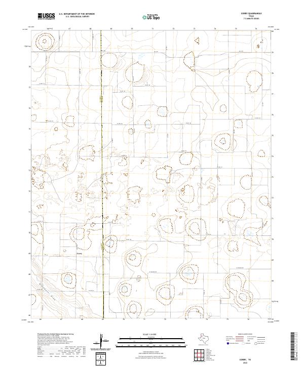
2022 Map of Corry
USGS Topo · Published 2022About this map
The community of Corry serves as a central point in this agricultural landscape on the High Plains, situated along the county line between Hale Co and Lamb Co. The terrain is characterized by a high density of seasonal depressions and playas, common to the Llano Estacado region, which collect runoff in an otherwise semi-arid environment. In the southwestern corner, the drainage of Blackwater Draw cuts across the land, providing a distinct geographic break from the surrounding plateau. The map reveals a highly structured grid of section roads, including W Grande Rd and Elm Rd, which facilitate the transport and irrigation needs of the local farming operations. This network of rural routes, including state-maintained roads like Fm 1071 and Fm 37, underscores the transition of this area into a modern, industrial-scale agricultural zone.
Find a feature on this map
28 named features on this map. Tap any name to fly to it.
Don’t see what you’re looking for? This feature index may not catch every label — zoom into the map to look around manually.
Map Details
Editions of this 2022 Corry Map
This is the sole edition of this map. No revisions or reprints were ever made.
Other maps of this area

1954 · Lubbock
USGS Topo · 1:250,000

1954 · Plainview
USGS Topo · 1:250,000

1954 · Clovis
USGS Topo · 1:250,000

1954 · Brownfield
USGS Topo · 1:250,000

1957 · Anton
USGS Topo · 1:62,500

1957 · Abernathy
USGS Topo · 1:62,500

1958 · Brownfield
USGS Topo · 1:250,000

1958 · Clovis
USGS Topo · 1:250,000

1958 · Plainview
USGS Topo · 1:250,000

1962 · Brownfield
USGS Topo · 1:250,000