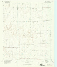
1968 Map of Corry
USGS Topo · Published 1970About this map
Lamb Co and Hale Co meet along a straight meridian in this high plains landscape, where the primary topographic variation comes from the gentle depressions and the winding course of Blackwater Draw in the southwest. The small settlement of Corry sits at a crossroads, serving as a localized point of activity within a grid of section lines and secondary roads. The map reveals an intensive subterranean focus, marked by numerous Wells and an extensive Pipeline network cutting across the northwestern quadrant. Aviation history in the region is anchored by the Sherrod Landing Strip on the eastern side of the survey. This 1968 study illustrates the late-twentieth-century transition of the Texas Panhandle into a highly structured agricultural and energy-producing landscape, where even the most subtle drainage patterns like those of the draw dictated early settlement and travel.
Find a feature on this map
7 named features on this map. Tap any name to fly to it.
Don’t see what you’re looking for? This feature index may not catch every label — zoom into the map to look around manually.
Map Details
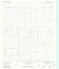
Editions of this 1968 Corry Map
2 editions found
Other maps of this area

1954 · Lubbock
USGS Topo · 1:250,000

1954 · Plainview
USGS Topo · 1:250,000

1954 · Clovis
USGS Topo · 1:250,000

1954 · Brownfield
USGS Topo · 1:250,000

1957 · Anton
USGS Topo · 1:62,500

1957 · Abernathy
USGS Topo · 1:62,500

1958 · Brownfield
USGS Topo · 1:250,000

1958 · Clovis
USGS Topo · 1:250,000

1958 · Plainview
USGS Topo · 1:250,000

1962 · Brownfield
USGS Topo · 1:250,000