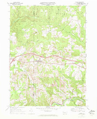
1969 Map of Corsica
USGS Topo · Published 1972About this map
Corsica sits at the heart of this landscape, marking a key intersection where local geography meets modern infrastructure at Interchange 11 and Interchange 12. The terrain is defined by the winding course of Redbank Creek to the south and Mill Creek to the north, creating a dissected plateau that supports both agriculture and industry. Resource extraction is evident through numerous Strip Mines and Gravel Pits that dot the hillsides, while the Penn Central railroad follows the low-lying river valleys, connecting small settlements like Baxter and Sutton.
Find a feature on this map
40 named features on this map. Tap any name to fly to it.
Don’t see what you’re looking for? This feature index may not catch every label — zoom into the map to look around manually.
Map Details
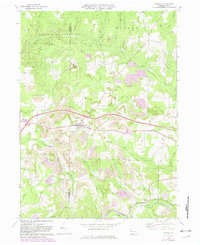
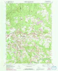
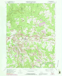
Editions of this 1969 Corsica Map
4 editions found
Other maps of this area

1906 · Clarion
USGS Topo · 1:62,500

1907 · Clarion
USGS Topo · 1:62,500

1918 · Loleta
USGS Topo · 1:62,500

1922 · Tionesta
USGS Topo · 1:62,500

1924 · Tionesta
USGS Topo · 1:62,500

1924 · Brookville
USGS Topo · 1:62,500

1926 · Brookville
USGS Topo · 1:62,500

1936 · Marienville
USGS Topo · 1:48,000

1941 · Marienville
USGS Topo · 1:62,500

1944 · Brookville
USGS Topo · 1:62,500