Loading...
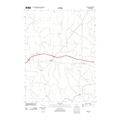
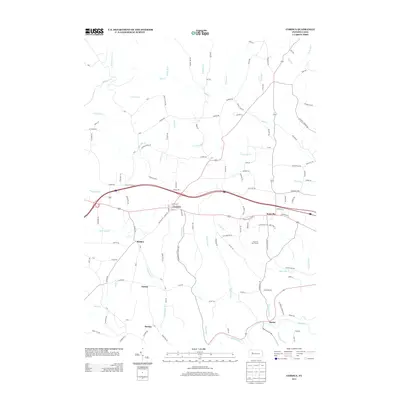
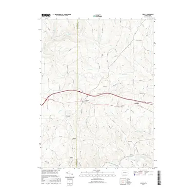
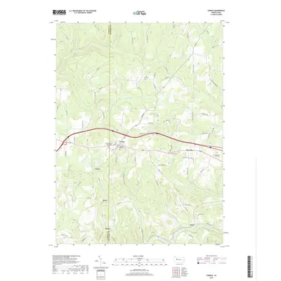
Loading map...1969 Map of Corsica
USGS Topo · Published 1982About this map
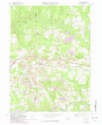
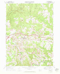
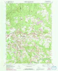
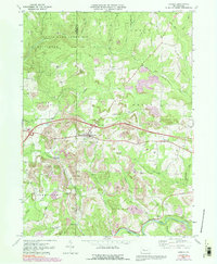
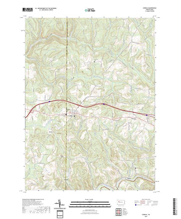
The borough of Corsica sits at the heart of this landscape, positioned along the border where Clarion Co meets Jefferson County. By the late 1960s, the region's economy was clearly defined by a mix of heavy extractive industry and traditional rural settlements. Extensive strip mining operations are visible across the terrain, notably south of Roseville and near the Airway Beacon, leaving a distinct mark on the topography.
Find a feature on this map
42 named features on this map. Tap any name to fly to it.
Don’t see what you’re looking for? This feature index may not catch every label — zoom into the map to look around manually.
Map Details
Date Portrayed1969
Date Published1982
PublisherU.S. Geological Survey
Map TypeTopographic
Scale1:24,000
Physical Dimensions22 x 27 inches
Editions of this 1969 Corsica Map
4 editions found
Historical Maps of Limestone Township Through Time
6 maps found
Featured Locations
Source Details
SourceU.S. Geological Survey
CopyrightPublic Domain