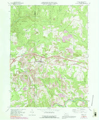
1969 Map of Corsica
USGS Topo · Published 1991About this map
Redbank Creek flows along the southern edge of this Pennsylvania landscape, where the agricultural and industrial character of the late 1960s is clearly visible. The borough of Corsica serves as a central hub, situated along the primary east-west route near Interchange 12 and Interchange 11. The map reveals a transition in land use, from the expansive State Game Lands No 74 in the north to the industrial activity of a Strip Mine and numerous Gas Wells scattered throughout the townships of Union and Clover.
Find a feature on this map
43 named features on this map. Tap any name to fly to it.
Don’t see what you’re looking for? This feature index may not catch every label — zoom into the map to look around manually.
Map Details
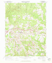
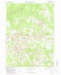
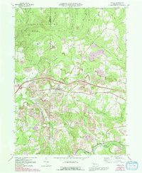
Editions of this 1969 Corsica Map
4 editions found
Other maps of this area

1906 · Clarion
USGS Topo · 1:62,500

1907 · Clarion
USGS Topo · 1:62,500

1918 · Loleta
USGS Topo · 1:62,500

1922 · Tionesta
USGS Topo · 1:62,500

1924 · Tionesta
USGS Topo · 1:62,500

1924 · Brookville
USGS Topo · 1:62,500

1926 · Brookville
USGS Topo · 1:62,500

1936 · Marienville
USGS Topo · 1:48,000

1941 · Marienville
USGS Topo · 1:62,500

1944 · Brookville
USGS Topo · 1:62,500