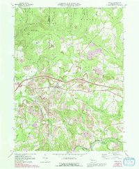
1969 Map of Corsica
USGS Topo · Published 1991About this map
Corsica serves as the central hub of this Jefferson County landscape, where the ridge-top settlement patterns of Western Pennsylvania are clearly visible. The borough sits at a high point between the Little Piney Creek and Mill Creek drainages, surrounded by a network of rural hamlets including Roseville, Holden, and Harlan. Extensive Gas Wells and scattered strip mines dot the hillsides, illustrating the region's reliance on extractive industries during the late 20th century.
Find a feature on this map
51 named features on this map. Tap any name to fly to it.
Don’t see what you’re looking for? This feature index may not catch every label — zoom into the map to look around manually.
Map Details
Editions of this 1969 Corsica Map
4 editions found
Other maps of this area

1906 · Clarion
USGS Topo · 1:62,500

1907 · Clarion
USGS Topo · 1:62,500

1918 · Loleta
USGS Topo · 1:62,500

1922 · Tionesta
USGS Topo · 1:62,500

1924 · Tionesta
USGS Topo · 1:62,500

1924 · Brookville
USGS Topo · 1:62,500

1926 · Brookville
USGS Topo · 1:62,500

1936 · Marienville
USGS Topo · 1:48,000

1941 · Marienville
USGS Topo · 1:62,500

1944 · Brookville
USGS Topo · 1:62,500