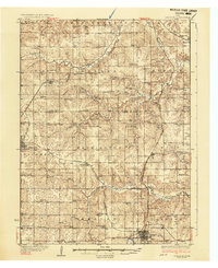
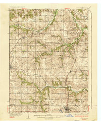
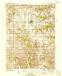
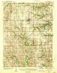
1937 Map of Corydon
USGS Topo · Published 1937About this map
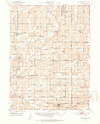
Corydon serves as a focal point for this Southern Iowa landscape, situated at the intersection of State Highway No 14 and State Highway No 3. The mid-1930s terrain is heavily defined by the winding course of the Chariton River and its many tributaries, including Wolf Creek and Quincy Creek. This survey reveals an incredibly dense network of rural infrastructure, with one-room schoolhouses such as Brown Jug Sch, Rabbit Ridge Sch, and Maple Grove Sch dotting nearly every section of the township grid.
Find a feature on this map
70 named features on this map. Tap any name to fly to it.
Don’t see what you’re looking for? This feature index may not catch every label — zoom into the map to look around manually.
Map Details
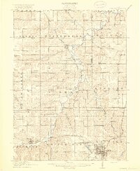
Editions of this 1937 Corydon Map
2 editions found
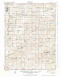
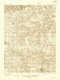
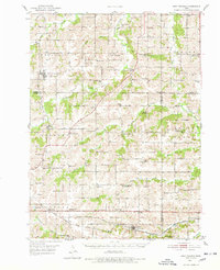
Other maps of this area
1918 · Chariton
USGS Topo · 1:62,500
1924 · Melcher
USGS Topo · 1:62,500
1934 · Humeston
USGS Topo · 1:48,000

1935 · Russell
USGS Topo · 1:62,500
1937 · Corydon
USGS Topo · 1:62,500

1938 · Russell
USGS Topo · 1:62,500
1942 · Seymour
USGS Topo · 1:62,500
1944 · Seymour
USGS Topo · 1:62,500
1950 · New Virginia
USGS Topo · 1:62,500
1952 · New Virginia
USGS Topo · 1:62,500