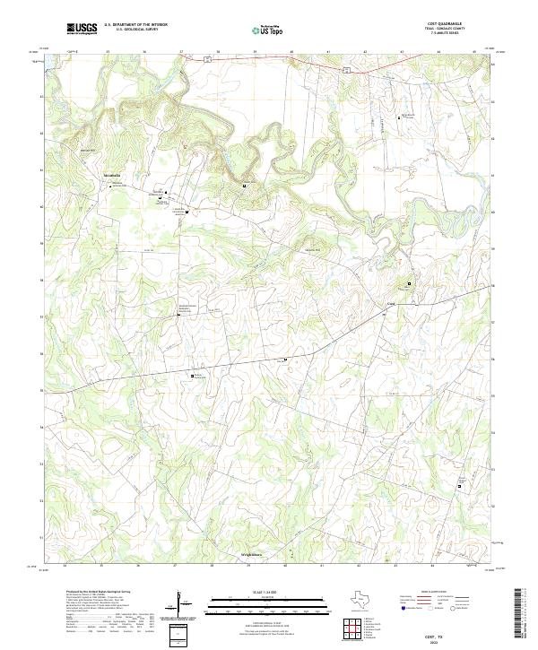
2022 Map of Cost
USGS Topo · Published 2022About this map
The Guadalupe River snakes through the center of this rural landscape, carving a complex series of bends and oxbows north of Cost. The settlement of Monthalia serves as a significant focal point for genealogical research, containing a dense concentration of denominational and community burial grounds, including the Monthalia Lutheran Cem, Monthalia Catholic Cem, and the Monthalia Cem African American. These sites, along with the Monthalia United Methodist Church Cem, suggest a deeply rooted and diverse community structure that has persisted in this corner of the county.
Find a feature on this map
64 named features on this map. Tap any name to fly to it.
Don’t see what you’re looking for? This feature index may not catch every label — zoom into the map to look around manually.
Map Details
Editions of this 2022 Cost Map
This is the sole edition of this map. No revisions or reprints were ever made.
Other maps of this area

1901 · Flatonia
USGS Topo · 1:125,000

1911 · San Marcos
USGS Topo · 1:125,000

1919 · San Marcos
USGS Topo · 1:125,000

1920 · Smiley
USGS Topo · 1:125,000

1925 · San Marcos 4-c
USGS Topo · 1:48,000

1929 · Luling
USGS Topo · 1:62,500

1953 · Seguin
USGS Topo · 1:250,000

1958 · Seguin
USGS Topo · 1:250,000

1959 · Ottine
USGS Topo · 1:24,000

1959 · Cost
USGS Topo · 1:24,000