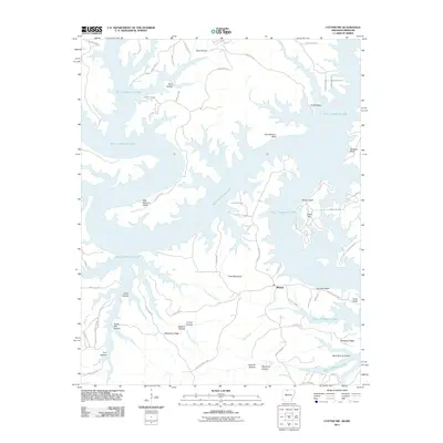
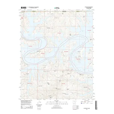
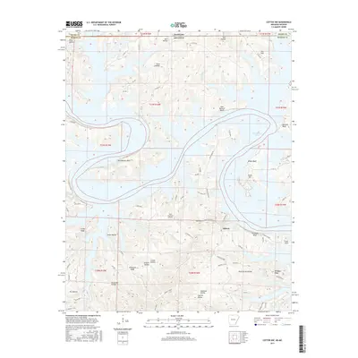
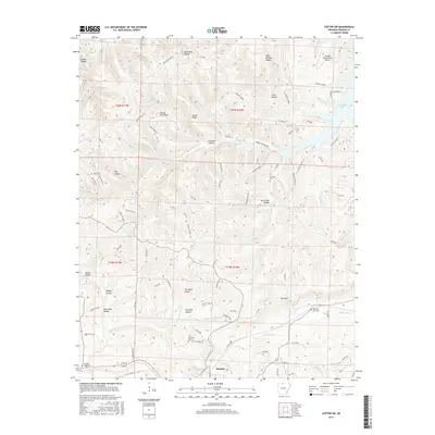
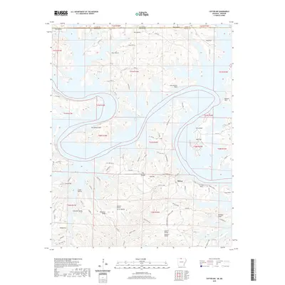
1972 Map of Cotter NW
USGS Topo · Published 1986About this map
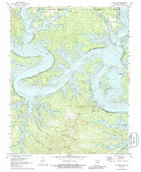
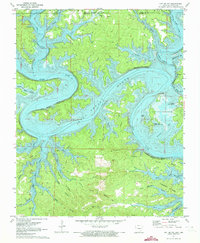
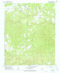
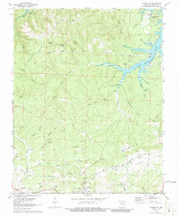
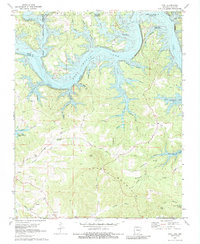
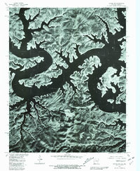
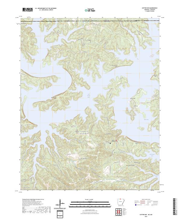
Bull Shoals Lake dominates this terrain along the border of Arkansas and Missouri, where the impounded waters of the White River have transformed the landscape into a complex of deep coves and winding shorelines. Surveyed in the early 1970s, the map reveals the relationship between the reservoir and the older landforms of the Ozarks, such as Buzzards Bluff and Cane Bottom Bluff. While much of the low-lying ground was inundated after 1941, upland settlements like Midway and Linley remain as markers of the area's ongoing habitation. Traces of local industry and natural resources appear in features like the Coal Pit near the southern margin and Missouri Spring near the state line. The map also highlights early recreational development following the dam's construction, noting the Oakland Public Use Area and the Ozark Isle Public Use Area nestled within Barnes Bay.
Find a feature on this map
47 named features on this map. Tap any name to fly to it.
Don’t see what you’re looking for? This feature index may not catch every label — zoom into the map to look around manually.
Map Details
Editions of this 1972 Cotter NW Map
2 editions found
Historical Maps of Midway Through Time
33 maps found
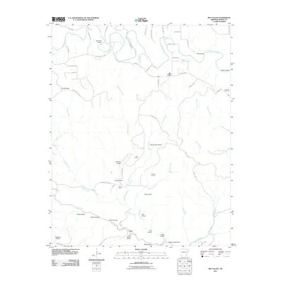
1966 Rea Valley
Marion County, AR
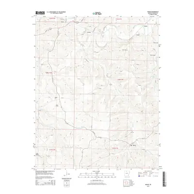
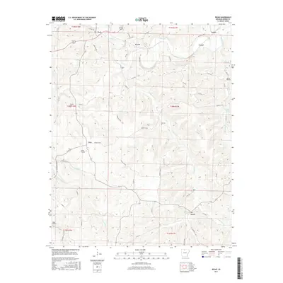
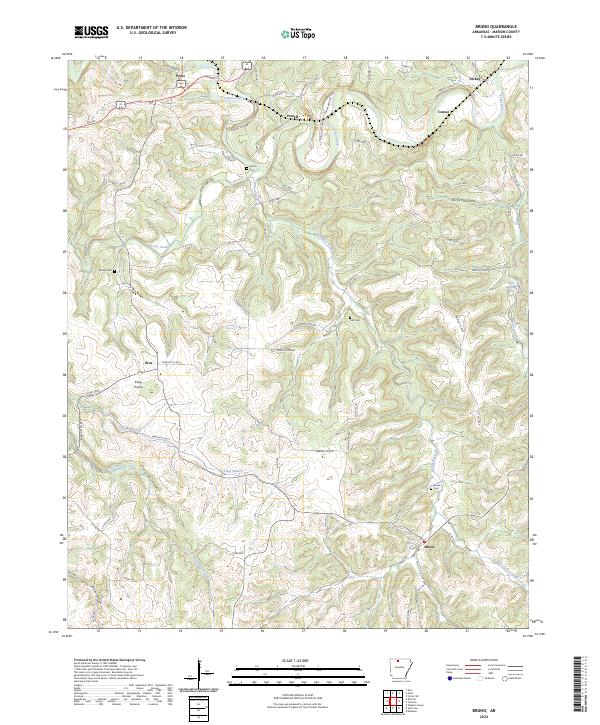
1967 Bruno
Marion County, AR
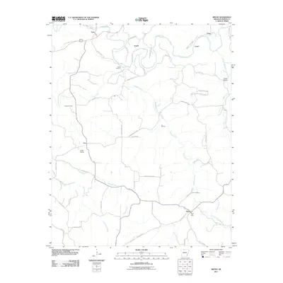
1972 Cotter NW
Marion County, AR
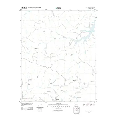
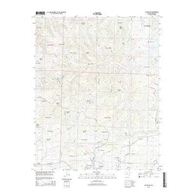
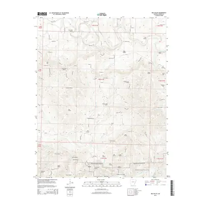
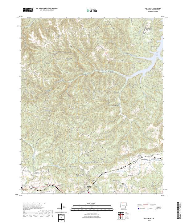
1972 Cotter SW
Marion County, AR
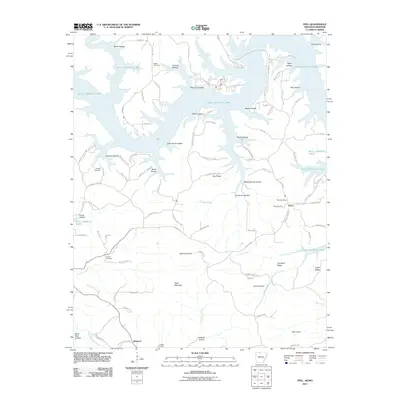
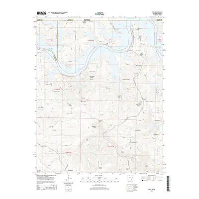
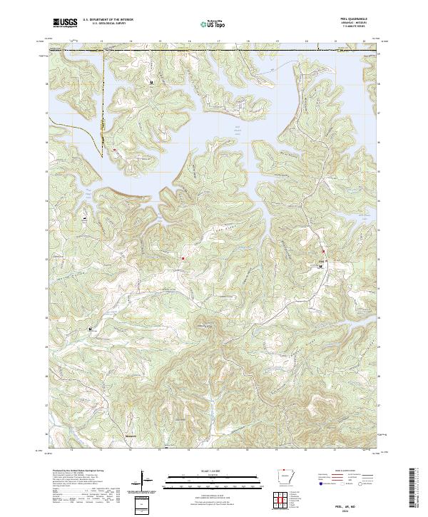
1972 Peel
Marion County, AR
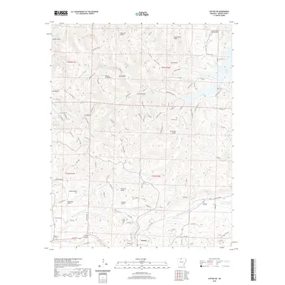
1979 Cotter NW
Marion County, AR
1979 Cotter SW
Marion County, AR

1985 Bull Shoals Lake
Marion County, AR
2011 Bruno
Marion County, AR
2011 Cotter NW
Marion County, AR
2011 Cotter SW
Marion County, AR
2011 Peel
Marion County, AR
2011 Rea Valley
Marion County, AR
2014 Bruno
Marion County, AR
2014 Cotter NW
Marion County, AR
2014 Cotter SW
Marion County, AR
2014 Peel
Marion County, AR
2014 Rea Valley
Marion County, AR
2017 Bruno
Marion County, AR
2017 Cotter NW
Marion County, AR
2017 Cotter SW
Marion County, AR
2017 Peel
Marion County, AR
2017 Rea Valley
Marion County, AR
2020 Bruno
Marion County, AR
2020 Cotter NW
Marion County, AR
2020 Cotter SW
Marion County, AR
2020 Peel
Marion County, AR
2020 Rea Valley
Marion County, AR
2024 Bruno
Marion County, AR
2024 Cotter NW
Marion County, AR
2024 Cotter SW
Marion County, AR
2024 Peel
Marion County, AR
2024 Rea Valley
Marion County, AR