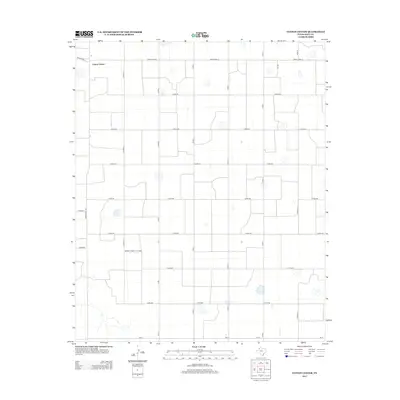
2012 Map of Cotton Center
USGS Topo · Published 2012About this map
Cotton Center is the primary focus of this High Plains landscape in Hale County, appearing here as an organized agricultural hub defined by a rigorous grid of section-line roads. The territory is dominated by large-scale farming operations, where the transport of fiber and grain relies on a network of designated routes like Farm-To-Market Road 285 and Ranch Road 37. Scattered across the flat terrain are numerous small depressions and playas, which provide intermittent drainage in an otherwise dry environment. The precision of the road names, from Nix Rd to the various numbered county roads like Co Rd-245, reflects the systematic land divisions essential to West Texas cotton production and rural life in the early 21st century.
Find a feature on this map
21 named features on this map. Tap any name to fly to it.
Don’t see what you’re looking for? This feature index may not catch every label — zoom into the map to look around manually.
Map Details
Editions of this 2012 Cotton Center Map
This is the sole edition of this map. No revisions or reprints were ever made.
Other maps of this area

1954 · Lubbock
USGS Topo · 1:250,000

1954 · Plainview
USGS Topo · 1:250,000

1954 · Clovis
USGS Topo · 1:250,000

1954 · Brownfield
USGS Topo · 1:250,000

1957 · Anton
USGS Topo · 1:62,500

1957 · Abernathy
USGS Topo · 1:62,500

1958 · Brownfield
USGS Topo · 1:250,000

1958 · Clovis
USGS Topo · 1:250,000

1958 · Plainview
USGS Topo · 1:250,000

1962 · Brownfield
USGS Topo · 1:250,000