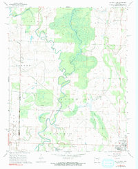
1968 Map of Cotton Plant
USGS Topo · Published 1970About this map
The Cache River dominates this landscape, its winding course and associated wetlands like Gum Flat and Roaring Slough defining the geography between Prairie and Woodruff Counties. The eastern edge is anchored by the community of Cotton Plant, while smaller settlements such as Maberry, Daggett, and James Ferry are scattered across the alluvial plain. A notable Railroad Grade cuts through the territory, signaling the importance of rail transport for the local agricultural economy during the late 1960s.
Find a feature on this map
28 named features on this map. Tap any name to fly to it.
Don’t see what you’re looking for? This feature index may not catch every label — zoom into the map to look around manually.
Map Details
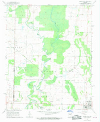
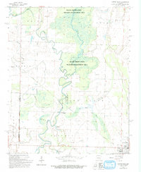
Editions of this 1968 Cotton Plant Map
3 editions found
Other maps of this area

1935 · Gregory
USGS Topo · 1:62,500

1939 · Hunter
USGS Topo · 1:62,500

1940 · Brinkley
USGS Topo · 1:62,500

1941 · De Valls Bluff
USGS Topo · 1:62,500

1948 · Helena
USGS Topo · 1:250,000

1950 · Helena
USGS Topo · 1:250,000

1953 · Memphis
USGS Topo · 1:250,000

1955 · Helena
USGS Topo · 1:250,000

1956 · Memphis
USGS Topo · 1:250,000

1956 · Hunter
USGS Topo · 1:62,500