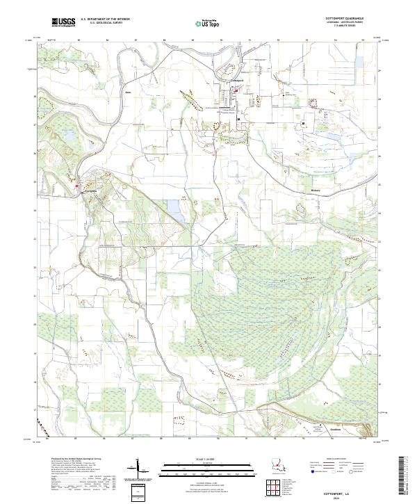
2024 Map of Cottonport
USGS Topo · Published 2024About this map
Cottonport serves as the primary hub in this corner of Avoyelles Parish, situated at a bend in Bayou Rouge and characterized by its network of historic streets like Front St and Sycamore St. The landscape is defined by the transition from settlement to wetlands, where Indian Bayou and Spring Bayou meander through the eastern reaches. The presence of the Central Louisiana Technical Community College Ward H Nash Avoyelles Campus in the town center marks its role as a regional educational point. Further south, the map traces the rural communities of Evergreen and Goudeau, the latter anchored by the Saint Charles Catholic Church Cem near Gum Ridge. These settlements are connected by a dense grid of parish roads and agricultural drainage projects like the Coco Canal, reflecting a long history of water management and land use in the Louisiana bayou country.
Find a feature on this map
57 named features on this map. Tap any name to fly to it.
Don’t see what you’re looking for? This feature index may not catch every label — zoom into the map to look around manually.
Map Details
Editions of this 2024 Cottonport Map
This is the sole edition of this map. No revisions or reprints were ever made.
Other maps of this area

1940 · Marksville
USGS Topo · 1:62,500

1941 · Voorhies
USGS Topo · 1:62,500

1948 · Bunkie
USGS Topo · 1:62,500

1952 · Lake Charles
USGS Topo · 1:250,000

1953 · Alexandria
USGS Topo · 1:250,000

1953 · Natchez
USGS Topo · 1:250,000

1954 · Lake Charles
USGS Topo · 1:250,000

1954 · Baton Rouge
USGS Topo · 1:250,000

1955 · Odenburg
USGS Topo · 1:62,500

1955 · Alexandria
USGS Topo · 1:250,000