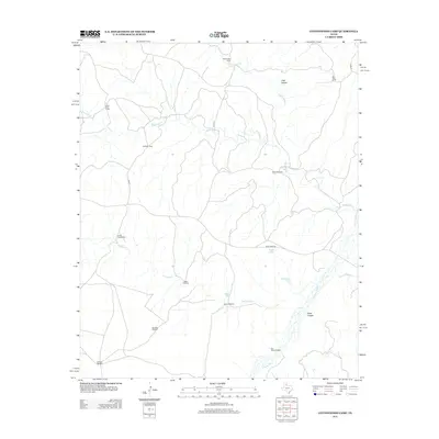
2013 Map of Cottonwood Camp
USGS Topo · Published 2013About this map
Cottonwood Camp and the surrounding rangeland of Hall County define this landscape, where a network of cattle camps and water sources support ranching operations in a dry environment. The terrain is marked by significant drainages such as the Wind River and the N Pease River, which have carved deep features like T Bar Canyon and Poker Canyon into the earth. Settlement is sparse, characterized by functional outposts like Alto Vista Camp, Bridlebit Camp, and Cedar Top Camp. The survival of these cattle operations relies on an infrastructure of scattered water points, including the Johnson Windmill, Dry Lake Windmill, and White Windmill. Access to these remote sites is provided by a grid of local roads and Ranch Road 656, which serves as a primary artery through the rolling ranch land.
Find a feature on this map
24 named features on this map. Tap any name to fly to it.
Don’t see what you’re looking for? This feature index may not catch every label — zoom into the map to look around manually.
Map Details
Editions of this 2013 Cottonwood Camp Map
This is the sole edition of this map. No revisions or reprints were ever made.
Other maps of this area

1954 · Plainview
USGS Topo · 1:250,000

1958 · Plainview
USGS Topo · 1:250,000

1966 · Fields Canyon
USGS Topo · 1:24,000

1967 · North Windmill
USGS Topo · 1:24,000

1967 · Cottonwood Camp
USGS Topo · 1:24,000

1967 · Tampico Siding
USGS Topo · 1:24,000

1967 · Badger Nest Tank
USGS Topo · 1:24,000

1967 · Hornica Creek
USGS Topo · 1:24,000

1967 · Turtle Hole Camp
USGS Topo · 1:24,000

1967 · Northfield
USGS Topo · 1:24,000