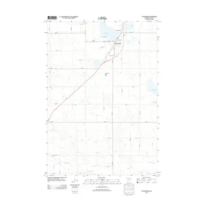
2013 Map of Cottonwood
USGS Topo · Published 2013About this map
Cottonwood serves as the primary hub of this Lyon County landscape, where the town's development is closely tied to its lakes and the path of MN-23. The area's settlement history is preserved through several distinct burial grounds, including English Cem, Christ Cem, and Cottonwood Cem, each situated on the periphery of the town center. To the south, the Redwood River and Threemile Cr meander through a grid of section lines, defining the agricultural character of the region. A notable geological feature is the Lady Shoe Lake Bed, which alongside Lady Slipper Lake and School Grove Lake, illustrates the glaciated prairie pothole topography typical of southwest Minnesota. The presence of the Louwagie Farm further south highlights the enduring importance of family-held agricultural land in this rural corridor.
Find a feature on this map
42 named features on this map. Tap any name to fly to it.
Don’t see what you’re looking for? This feature index may not catch every label — zoom into the map to look around manually.
Map Details
Editions of this 2013 Cottonwood Map
This is the sole edition of this map. No revisions or reprints were ever made.
Other maps of this area

1953 · New Ulm
USGS Topo · 1:250,000

1957 · New Ulm
USGS Topo · 1:250,000

1958 · New Ulm
USGS Topo · 1:250,000

1962 · Wood Lake NW
USGS Topo · 1:24,000

1962 · Dudley
USGS Topo · 1:24,000

1962 · Cottonwood
USGS Topo · 1:24,000

1962 · School Grove Lake
USGS Topo · 1:24,000

1962 · Wood Lake
USGS Topo · 1:24,000

1962 · Milroy
USGS Topo · 1:24,000

1963 · Marshall
USGS Topo · 1:24,000