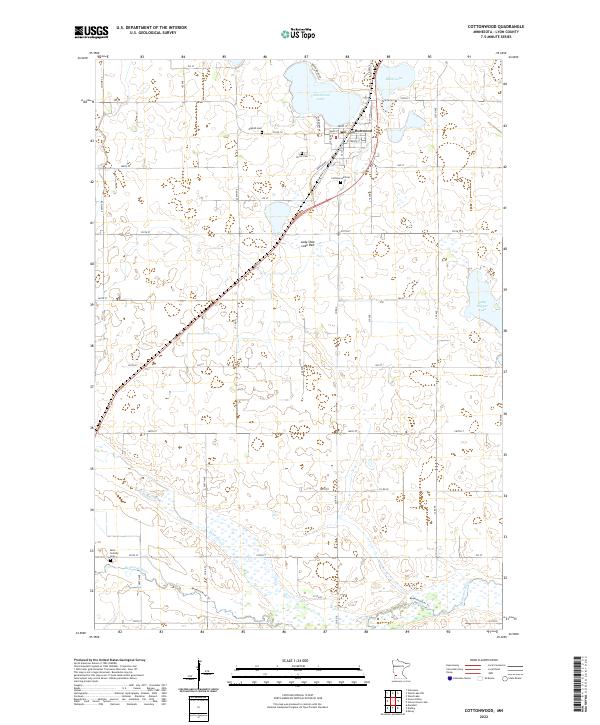
2022 Map of Cottonwood
USGS Topo · Published 2022About this map
Cottonwood serves as the central hub of this prairie landscape, situated along the northern shores of Cottonwood Lake. The town's grid is anchored by Main St and Front St, while its surrounding agricultural history is marked by several burial grounds, including the English Cem, Christ Cem, and Cottonwood Cem. This 2022 survey illustrates the relationship between the built environment and the region's hydrography, showing the town's expansion south toward the prairie wetlands.
Find a feature on this map
56 named features on this map. Tap any name to fly to it.
Don’t see what you’re looking for? This feature index may not catch every label — zoom into the map to look around manually.
Map Details
Editions of this 2022 Cottonwood Map
This is the sole edition of this map. No revisions or reprints were ever made.
Other maps of this area

1953 · New Ulm
USGS Topo · 1:250,000

1957 · New Ulm
USGS Topo · 1:250,000

1958 · New Ulm
USGS Topo · 1:250,000

1962 · Wood Lake NW
USGS Topo · 1:24,000

1962 · Dudley
USGS Topo · 1:24,000

1962 · Cottonwood
USGS Topo · 1:24,000

1962 · School Grove Lake
USGS Topo · 1:24,000

1962 · Wood Lake
USGS Topo · 1:24,000

1962 · Milroy
USGS Topo · 1:24,000

1963 · Marshall
USGS Topo · 1:24,000