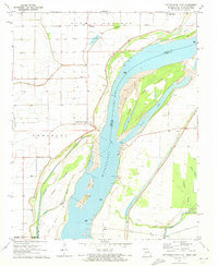
1971 Map of Cottonwood Point
USGS Topo · Published 1973About this map
The Mississippi River dominates this 1971 landscape, acting as a shifting border between Pemiscot County, Missouri, and Dyer County, Tennessee. Near the Missouri bank, the settlement of Cottonwood Point stands behind a significant Levee system designed to manage the floodwaters of the Mississippi and the nearby Little Prairie Bayou. The river channel here is complex, featuring several large landmasses such as Island No 18 and the Towhead of Everett, which enclose Everett Lake.
Find a feature on this map
36 named features on this map. Tap any name to fly to it.
Don’t see what you’re looking for? This feature index may not catch every label — zoom into the map to look around manually.
Map Details
Editions of this 1971 Cottonwood Point Map
2 editions found
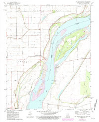
Other maps of this area

1939 · Hales Point
USGS Topo · 1:62,500

1939 · Caruthersville
USGS Topo · 1:62,500

1939 · Blytheville
USGS Topo · 1:62,500

1940 · Hayti
USGS Topo · 1:62,500

1951 · Caruthersville
USGS Topo · 1:62,500

1952 · Hales Point
USGS Topo · 1:62,500

1955 · Hayti
USGS Topo · 1:62,500

1955 · Blytheville
USGS Topo · 1:62,500

1956 · Dyersburg
USGS Topo · 1:250,000

1956 · Blytheville
USGS Topo · 1:250,000