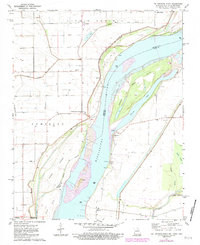
1971 Map of Cottonwood Point
USGS Topo · Published 1983About this map
The Mississippi River dominates this landscape along the Missouri-Tennessee border, weaving through a complex system of islands and towheads. This 1971 survey, photorevised in the early 1980s, documents the intricate shoreline and agricultural development of Little Prairie on the western bank. The area is defined by massive engineering works, including an extensive Levee system designed to protect riverfront settlements like Cottonwood Point and Tyler from seasonal flooding. These levees parallel the river, cutting through the low-lying terrain near Half Moon Bayou and Everett Lake.
Find a feature on this map
32 named features on this map. Tap any name to fly to it.
Don’t see what you’re looking for? This feature index may not catch every label — zoom into the map to look around manually.
Map Details
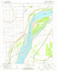
Editions of this 1971 Cottonwood Point Map
2 editions found
Other maps of this area

1939 · Hales Point
USGS Topo · 1:62,500

1939 · Caruthersville
USGS Topo · 1:62,500

1939 · Blytheville
USGS Topo · 1:62,500

1940 · Hayti
USGS Topo · 1:62,500

1951 · Caruthersville
USGS Topo · 1:62,500

1952 · Hales Point
USGS Topo · 1:62,500

1955 · Hayti
USGS Topo · 1:62,500

1955 · Blytheville
USGS Topo · 1:62,500

1956 · Dyersburg
USGS Topo · 1:250,000

1956 · Blytheville
USGS Topo · 1:250,000