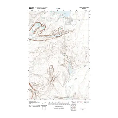
2011 Map of Coulee City
USGS Topo · Published 2011About this map
Coulee City sits at the northern end of a dramatic landscape defined by ice-age floods and modern water management. The town’s grid is meticulously detailed with street names from W Main St to Columbia St, situated just south of the massive Banks Lake. To the west, the geological spectacle of Dry Falls and the towering Umatilla Rock mark a prehistoric riverbed, now part of a chain of smaller waters including Dry Falls Lake and Perch Lake.
Find a feature on this map
86 named features on this map. Tap any name to fly to it.
Don’t see what you’re looking for? This feature index may not catch every label — zoom into the map to look around manually.
Map Details
Editions of this 2011 Coulee City Map
This is the sole edition of this map. No revisions or reprints were ever made.
Other maps of this area

1930 · Grand Coulee Sheet 3
USGS Topo · 1:31,680

1953 · Ritzville
USGS Topo · 1:250,000

1956 · Stratford
USGS Topo · 1:24,000

1956 · Wilson Creek NW
USGS Topo · 1:24,000

1956 · Soap Lake
USGS Topo · 1:24,000

1956 · Wilson Creek
USGS Topo · 1:62,500

1959 · Ritzville
USGS Topo · 1:250,000

1965 · Ritzville
USGS Topo · 1:250,000

1965 · St. Andrews
USGS Topo · 1:24,000

1965 · Mold
USGS Topo · 1:24,000