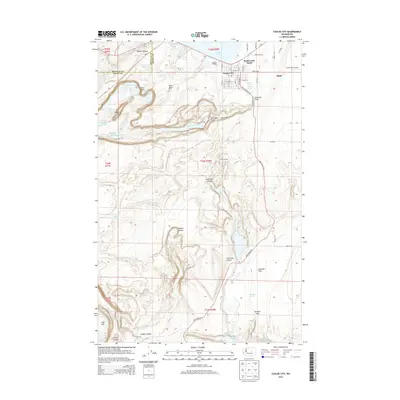
2014 Map of Coulee City
USGS Topo · Published 2014About this map
Coulee City sits at the junction of modern infrastructure and ancient geological formations, positioned south of Banks Lake and the newer developments of Banks Lake South. The landscape is dominated by the dramatic topography of the Grand Coulee, featuring the iconic Dry Falls and the towering Umatilla Rock. These basalt features, along with Dry Falls Lake and Rickard Lake, trace the path of prehistoric floods through the desert.
Find a feature on this map
64 named features on this map. Tap any name to fly to it.
Don’t see what you’re looking for? This feature index may not catch every label — zoom into the map to look around manually.
Map Details
Editions of this 2014 Coulee City Map
This is the sole edition of this map. No revisions or reprints were ever made.
Other maps of this area

1930 · Grand Coulee Sheet 3
USGS Topo · 1:31,680

1953 · Ritzville
USGS Topo · 1:250,000

1956 · Stratford
USGS Topo · 1:24,000

1956 · Wilson Creek NW
USGS Topo · 1:24,000

1956 · Soap Lake
USGS Topo · 1:24,000

1956 · Wilson Creek
USGS Topo · 1:62,500

1959 · Ritzville
USGS Topo · 1:250,000

1965 · Ritzville
USGS Topo · 1:250,000

1965 · St. Andrews
USGS Topo · 1:24,000

1965 · Mold
USGS Topo · 1:24,000