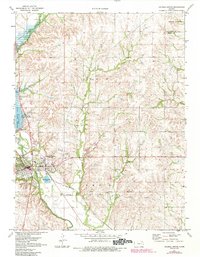
1971 Map of Council Grove
USGS Topo · Published 1984About this map
Council Grove stands as the central hub of this Kansas landscape, where the Neosho River and Elm Creek meet. The map documents the mid-century infrastructure of the Flint Hills region, dominated by the significant expanse of Council Grove Lake and the engineering of the Council Grove Dam. A fascinating piece of historical geography is preserved here in the marking of the Old Indian Treaty Boundary, which cuts across the terrain alongside the Missouri Pacific rail line and an older Railroad Grade. Local culture and 1970s amenities are visible through features like the Fairground, Hospital, and a Drive-in Theater. The surrounding countryside is defined by a network of waterways including Big John Creek and Munkers Creek, with several quarries indicating the local industrial use of the rocky earth.
Find a feature on this map
32 named features on this map. Tap any name to fly to it.
Don’t see what you’re looking for? This feature index may not catch every label — zoom into the map to look around manually.
Map Details
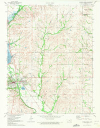
Editions of this 1971 Council Grove Map
2 editions found
Other maps of this area

1885 · Eskridge
USGS Topo · 1:125,000

1889 · Parkerville
USGS Topo · 1:125,000

1889 · Eskridge
USGS Topo · 1:125,000

1894 · Eskridge
USGS Topo · 1:125,000

1894 · Parkerville
USGS Topo · 1:125,000

1955 · Hutchinson
USGS Topo · 1:250,000

1959 · Hutchinson
USGS Topo · 1:250,000

1971 · Alta Vista SE
USGS Topo · 1:24,000

1971 · Bushong
USGS Topo · 1:24,000

1971 · Alta Vista
USGS Topo · 1:24,000