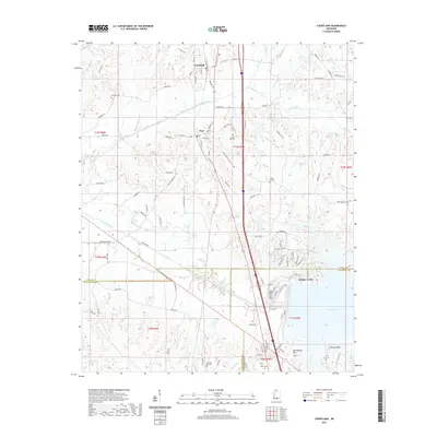
2021 Map of Courtland
USGS Topo · Published 2021About this map
Courtland and Pope serve as the primary settlement centers in this Panola County landscape, where the CN railroad corridor parallels the modern highway route. The terrain is defined by the significant hydrology of the Yocona River and the northern reaches of Enid Lake, creating a complex network of tributaries including Peters Creek, Long Creek, and Boho Bayou. The presence of several family and community burial grounds, such as Antioch Cem, Spring Hill Cem, and Enid Oak Hill Cem, provides a detailed geographic record for genealogical research in this portion of Mississippi.
Find a feature on this map
110 named features on this map. Tap any name to fly to it.
Don’t see what you’re looking for? This feature index may not catch every label — zoom into the map to look around manually.
Map Details
Editions of this 2021 Courtland Map
This is the sole edition of this map. No revisions or reprints were ever made.
Other maps of this area

1932 · Sledge
USGS Topo · 1:48,000

1935 · Crowder
USGS Topo · 1:62,500

1935 · Sledge
USGS Topo · 1:62,500

1939 · Sledge
USGS Topo · 1:62,500

1939 · Crowder
USGS Topo · 1:62,500

1948 · Helena
USGS Topo · 1:250,000

1950 · Helena
USGS Topo · 1:250,000

1952 · Sardis
USGS Topo · 1:62,500

1953 · Sardis
USGS Topo · 1:62,500

1954 · Oakland
USGS Topo · 1:62,500