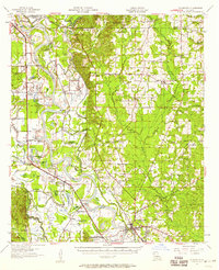
1957 Map of Coushatta
USGS Topo · Published 1958About this map
The Red River meanders through this mid-century landscape, carving a complex network of oxbows and lakes including Prudhomme Lake and Beard Lake. The town of Coushatta serves as the regional hub at the confluence of several bayous, including Coney Bayou and Bull Bayou. This era captures a transition in rural education and community structure, notably marking the Susie Island Sch (Abandoned) and active centers like the Grand Bayou Sch. The Southern Pacific railroad parallels the river's western bank, connecting small agricultural settlements such as Westdale, Armistead, and Abington. Dozens of country churches and family cemeteries, from St John the Baptist Ch to the Tanyard Cem, are scattered across the terrain, reflecting the deep-seated social geography of Red River Parish before modern consolidation.
Find a feature on this map
117 named features on this map. Tap any name to fly to it.
Don’t see what you’re looking for? This feature index may not catch every label — zoom into the map to look around manually.
Map Details
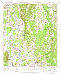
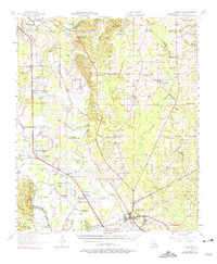
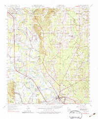
Editions of this 1957 Coushatta Map
4 editions found
Other maps of this area

1937 · Campti NW
USGS Topo · 1:31,680

1938 · Chemard Lake
USGS Topo · 1:31,680

1938 · Lake End
USGS Topo · 1:31,680

1941 · East Point
USGS Topo · 1:31,680

1941 · Bossier Point
USGS Topo · 1:31,680

1941 · Pelican
USGS Topo · 1:62,500

1943 · Pleasant Hill
USGS Topo · 1:62,500

1944 · Pleasant Hill
USGS Topo · 1:62,500

1944 · Campti
USGS Topo · 1:62,500

1945 · Mansfield
USGS Topo · 1:62,500