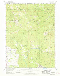
1952 Map of Covelo
USGS Topo · Published 1968About this map
Covelo serves as the primary hub of activity within the Round Valley region during the early 1950s, situated at the edge of the Round Valley Indian Reservation. This area exhibits a distinct landscape of valley-floor agriculture and high-country ranching, with numerous family-named outposts such as Brown Ranch, Bauer Ranch, and the Spencer Ranch dotting the terrain. The map records important community landmarks including the Reservation School and Nomlackey Cemetery, providing essential data for genealogists and local historians.
Find a feature on this map
103 named features on this map. Tap any name to fly to it.
Don’t see what you’re looking for? This feature index may not catch every label — zoom into the map to look around manually.
Map Details
Editions of this 1952 Covelo Map
4 editions found

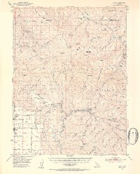
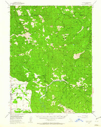
Other maps of this area

1890 · Red Bluff
USGS Topo · 1:250,000

1894 · Red Bluff
USGS Topo · 1:250,000

1920 · Covelo
USGS Topo · 1:62,500

1921 · Hoaglin
USGS Topo · 1:62,500

1922 · Island Mountain
USGS Topo · 1:62,500

1926 · Covelo
USGS Topo · 1:62,500

1929 · Eden Valley
USGS Topo · 1:62,500

1931 · Hoaglin
USGS Topo · 1:96,000

1935 · Hoaglin
USGS Topo · 1:125,000

1951 · Laytonville
USGS Topo · 1:62,500