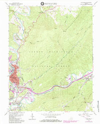
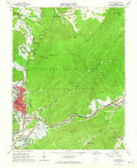
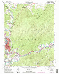
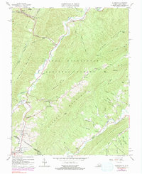
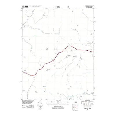
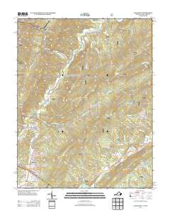
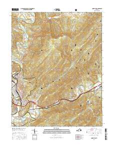
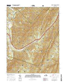
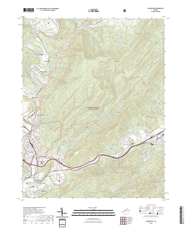
1962 Map of Covington
USGS Topo · Published 1984About this map
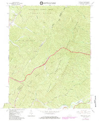
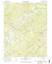
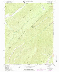
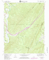
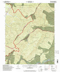
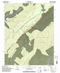
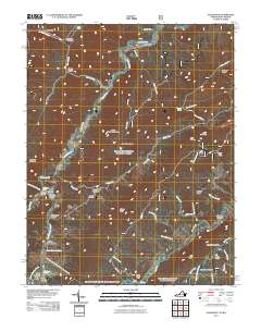
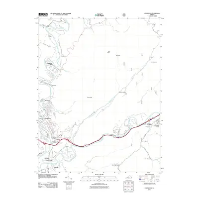
The Jackson River carves a deep path through the Alleghany Highlands, where the city of Covington serves as an industrial and residential hub. This 1960s-era landscape reveals a community defined by the Chesapeake and Ohio Railroad and the massive industrial footprint of Industrial Waste Ponds and a Filtration Plant. Residential expansion is visible in neighborhoods like Rayon Terrace, Fairlawn, and Idlewilde, while the surrounding terrain is dominated by the George Washington National Forest.
Find a feature on this map
53 named features on this map. Tap any name to fly to it.
Don’t see what you’re looking for? This feature index may not catch every label — zoom into the map to look around manually.
Map Details
Editions of this 1962 Covington Map
4 editions found

Historical Maps of Covington Through Time
38 maps found
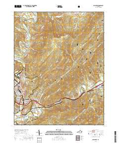
1962 Covington
Alleghany County, VA
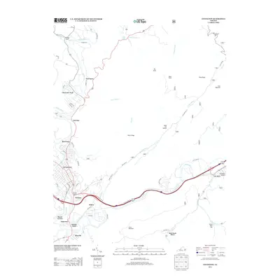
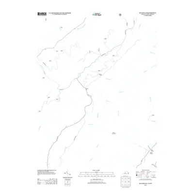
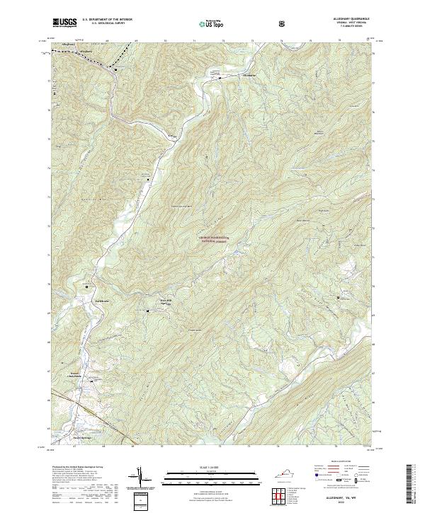
1966 Allegany
Alleghany County, VA
1966 Jerrys Run
Alleghany County, VA
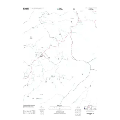
1966 Jordan Mines
Alleghany County, VA
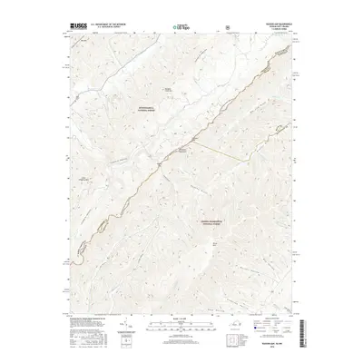
1966 Rucker Gap
Alleghany County, VA
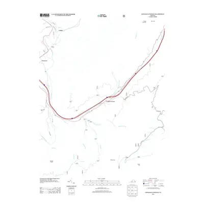
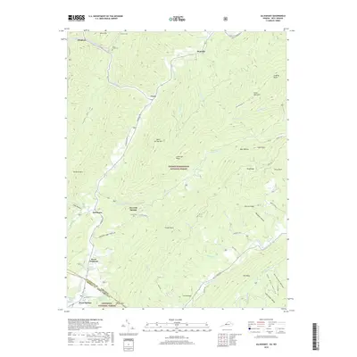
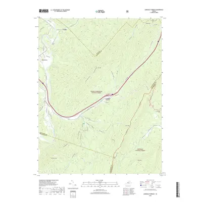
1969 Longdale Furnace
Alleghany County, VA
1995 Jerrys Run
Alleghany County, VA
1995 Rucker Gap
Alleghany County, VA
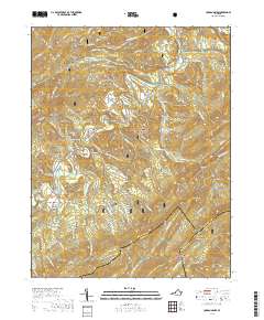
2011 Alleghany
Alleghany County, VA
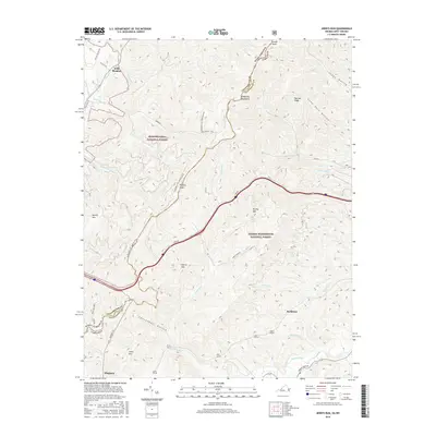
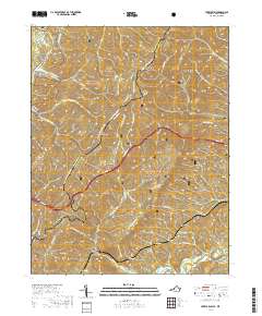
2011 Covington
Alleghany County, VA
2011 Jerrys Run
Alleghany County, VA
2011 Jordan Mines
Alleghany County, VA
2011 Longdale Furnace
Alleghany County, VA
2011 Rucker Gap
Alleghany County, VA
2013 Alleghany
Alleghany County, VA
2013 Covington
Alleghany County, VA

2013 Jerrys Run
Alleghany County, VA
2013 Jordan Mines
Alleghany County, VA
2013 Longdale Furnace
Alleghany County, VA
2013 Rucker Gap
Alleghany County, VA

2016 Alleghany
Alleghany County, VA
2016 Covington
Alleghany County, VA
2016 Jerrys Run
Alleghany County, VA
2016 Jordan Mines
Alleghany County, VA
2016 Longdale Furnace
Alleghany County, VA
2016 Rucker Gap
Alleghany County, VA
2019 Alleghany
Alleghany County, VA
2019 Covington
Alleghany County, VA
2019 Jerrys Run
Alleghany County, VA
2019 Jordan Mines
Alleghany County, VA
2019 Longdale Furnace
Alleghany County, VA

2019 Rucker Gap
Alleghany County, VA
2022 Alleghany
Alleghany County, VA
2022 Covington
Alleghany County, VA
2022 Jerrys Run
Alleghany County, VA
2022 Jordan Mines
Alleghany County, VA
2022 Longdale Furnace
Alleghany County, VA
2022 Rucker Gap
Alleghany County, VA