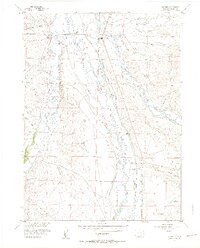
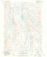
1956 Map of Cowdrey
USGS Topo · Published 1957About this map
The Michigan River and Canadian River snake through this high basin landscape, defining a region where water management is the lifeblood of the ranching economy. A complex network of irrigation channels, including the Kiwa Ditch, Pioneer Ditch, and Seneca Ditch, crisscrosses the terrain to support established operations like the Carlstrom Ranch and Hanson Ranch. The small settlement of Cowdrey sits at a nexus of these waterways and the Union Pacific Railroad, which provided essential transport for the area's remote cattle and hay industries.
Find a feature on this map
47 named features on this map. Tap any name to fly to it.
Don’t see what you’re looking for? This feature index may not catch every label — zoom into the map to look around manually.
Map Details
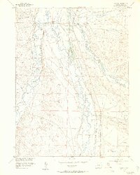
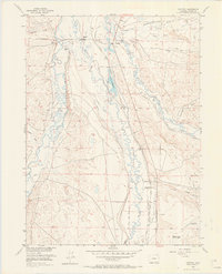
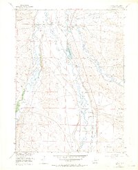
Editions of this 1956 Cowdrey Map
5 editions found
Other maps of this area

1950 · Northgate
USGS Topo · 1:24,000

1950 · Kings Canyon
USGS Topo · 1:24,000

1952 · Northgate
USGS Topo · 1:24,000

1952 · Kings Canyon
USGS Topo · 1:24,000

1954 · Craig
USGS Topo · 1:250,000

1955 · Independence Mountain
USGS Topo · 1:24,000

1955 · Lake John
USGS Topo · 1:24,000

1955 · Eagle Hill
USGS Topo · 1:24,000

1955 · Delaney Butte
USGS Topo · 1:24,000

1955 · Gould NW
USGS Topo · 1:24,000