
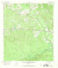
1958 Map of Cowl Spur
USGS Topo · Published 1959About this map
The Gulf Colorado and Santa Fe railroad corridor anchors this mid-century view of Montgomery County, providing a structural axis for the small settlements of Cowl Spur, Honea, and Leonidas. The landscape is a transition between the hydraulic activity of the West Fork San Jacinto River and active industrial extraction. Significant petroleum infrastructure is evident in the Lake Creek Oil Field and West Conroe Oil Field, which are interspersed with numerous smaller water bodies such as Pevehouse Lake and Scott Lake.
Find a feature on this map
37 named features on this map. Tap any name to fly to it.
Don’t see what you’re looking for? This feature index may not catch every label — zoom into the map to look around manually.
Map Details
Editions of this 1958 Cowl Spur Map
4 editions found
Other maps of this area

1954 · Beaumont
USGS Topo · 1:250,000

1957 · Beaumont
USGS Topo · 1:250,000

1958 · Conroe
USGS Topo · 1:24,000

1958 · Lake Paula
USGS Topo · 1:24,000

1959 · Montgomery
USGS Topo · 1:24,000

1960 · Willis
USGS Topo · 1:24,000
1961 · Tamina
USGS Topo · 1:24,000

1962 · Keenan
USGS Topo · 1:24,000
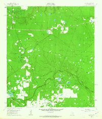
1962 · Oklahoma
USGS Topo · 1:24,000
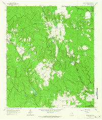
1962 · Magnolia East
USGS Topo · 1:24,000