2022 Map of Coyle
USGS Topo · Published 2022About this map
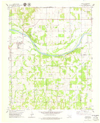
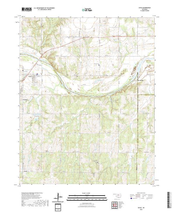
The Cimarron River winds through the heart of this landscape, carving a broad valley that separates the town of Coyle from the southern uplands of Logan County. This 2022 survey documents a rural corridor defined by legacy homesteads and small agricultural centers. To the west, Langston sits near the headwaters of Soldier Cr, while the small settlement of Goodnight occupies the eastern bend of the river. The terrain is notably dissected by drainages like Horse-Thief Canyon and Walnut Cr, creating a rolling topography that has historically influenced road placement and settlement patterns.
Find a feature on this map
66 named features on this map. Tap any name to fly to it.
Don’t see what you’re looking for? This feature index may not catch every label — zoom into the map to look around manually.
Map Details
Editions of this 2022 Coyle Map
This is the sole edition of this map. No revisions or reprints were ever made.