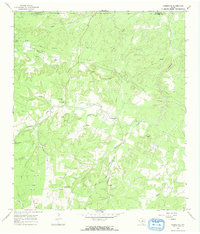
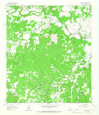
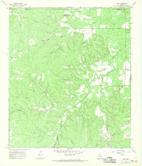
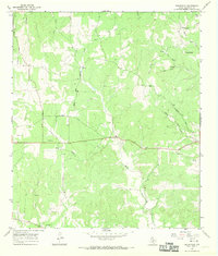
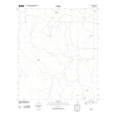
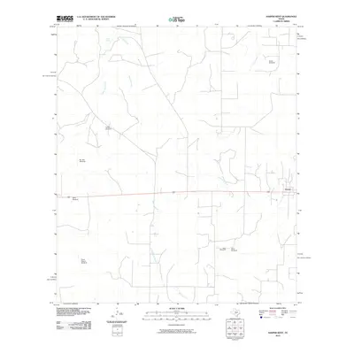
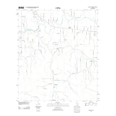
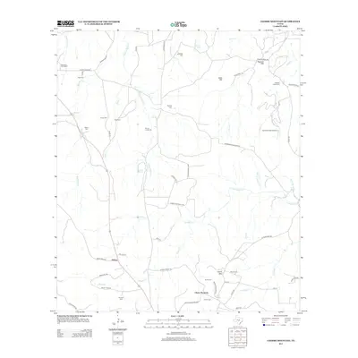
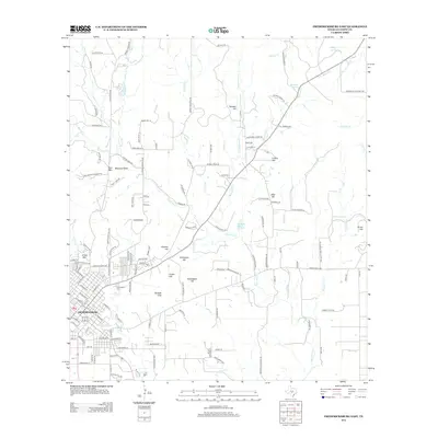
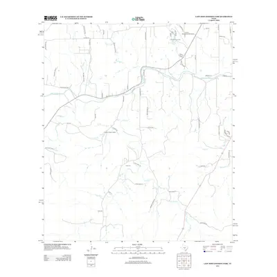
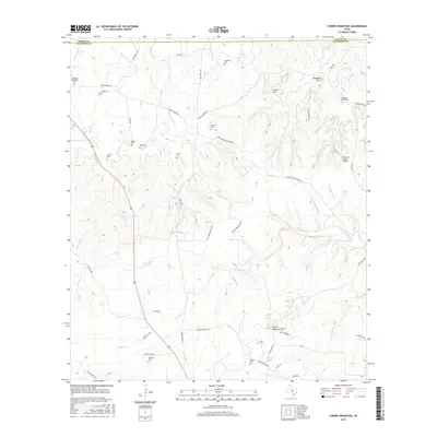
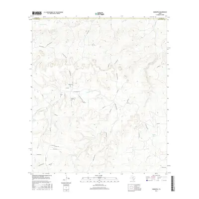
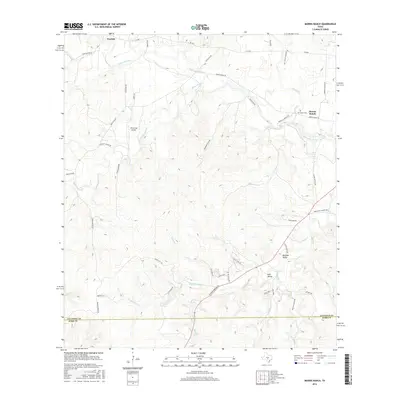
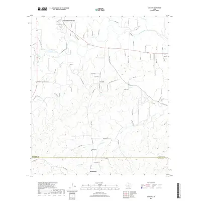
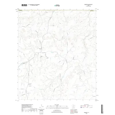
1967 Map of Crabapple
USGS Topo · Published 1970About this map
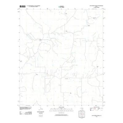
The community of Crabapple and the neighboring settlement of Graves anchor this late-1960s survey of the Texas Hill Country. The landscape is defined by the winding course of Crabapple Creek and its many tributaries, including Metzger Creek, Potander Creek, and Landrum Creek. For genealogists, the map is particularly valuable for its precise location of family-named burial grounds such as Welgehausen Cem, Rusche Cem, and Schmidt Cem.
Find a feature on this map
31 named features on this map. Tap any name to fly to it.
Don’t see what you’re looking for? This feature index may not catch every label — zoom into the map to look around manually.
Map Details
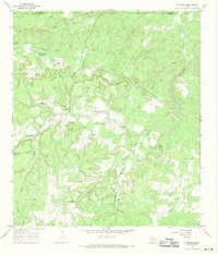
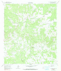
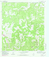
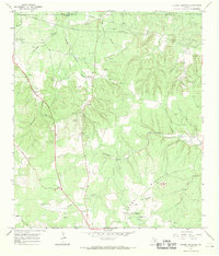
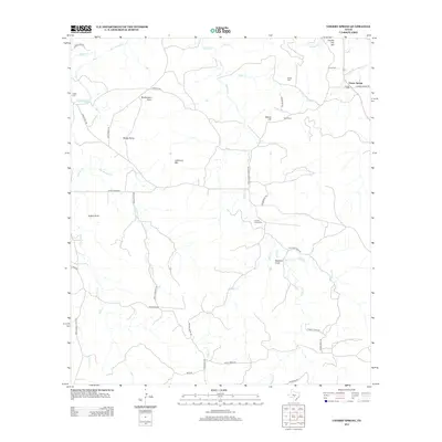
Editions of this 1967 Crabapple Map
2 editions found
Historical Maps of Crabapple Through Time
90 maps found
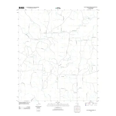
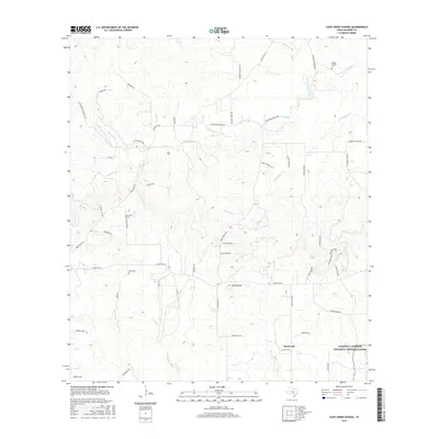
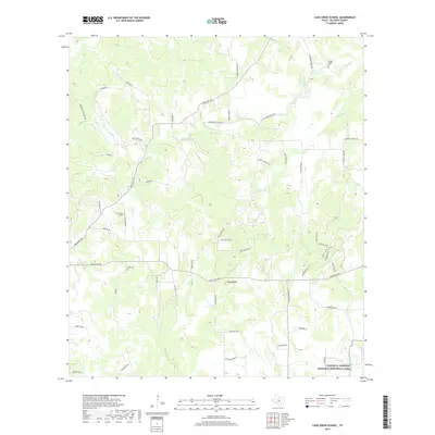
1961 Cave Creek School
Gillespie County, TX

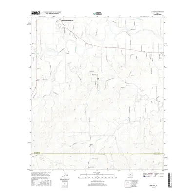
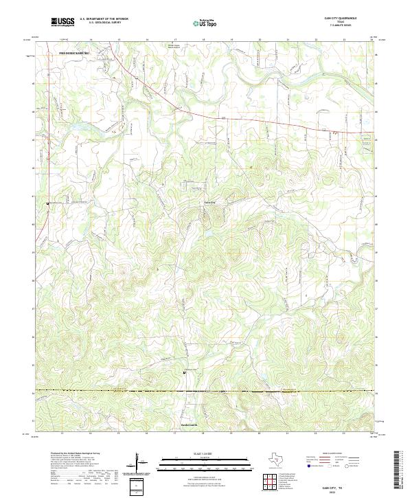
1963 Cain City
Gillespie County, TX
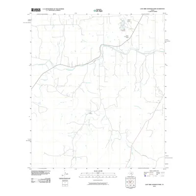
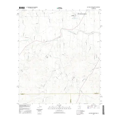
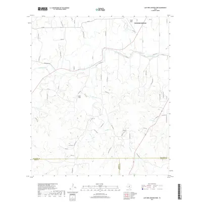
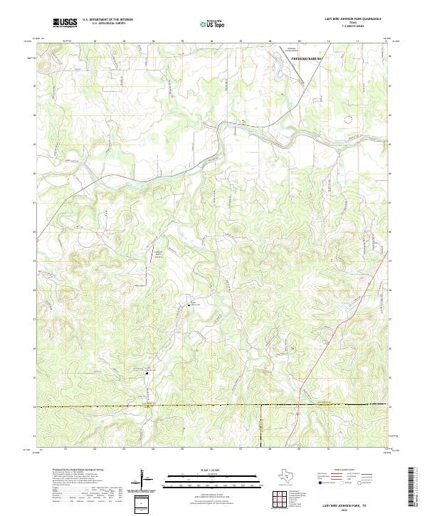
1964 Lady Bird Johnson Park
Gillespie County, TX
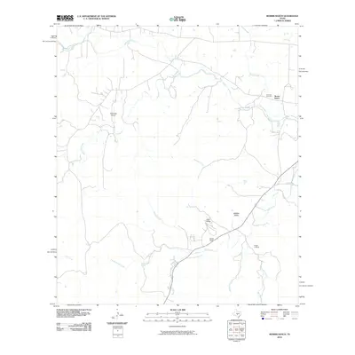
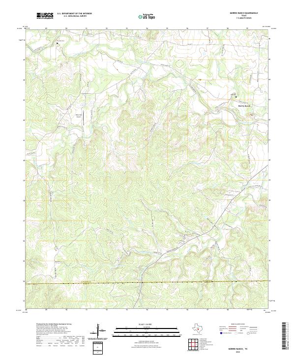
1964 Morris Ranch
Gillespie County, TX
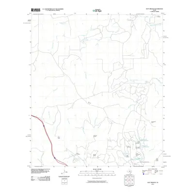
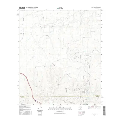
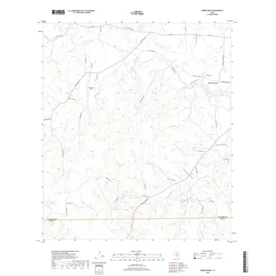
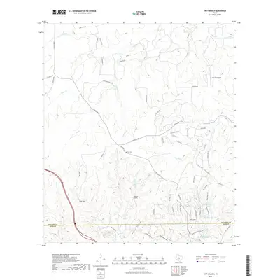
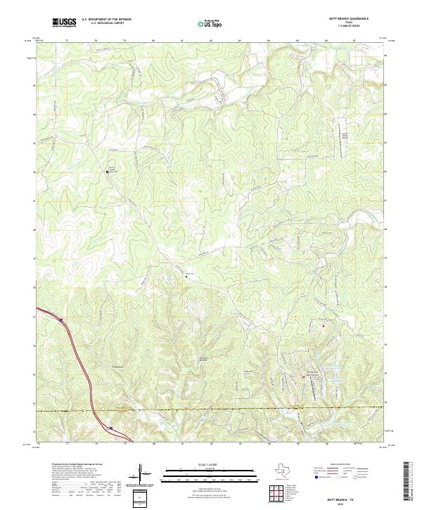
1964 Nott Branch
Gillespie County, TX
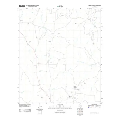
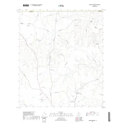
1967 Cherry Mountain
Gillespie County, TX
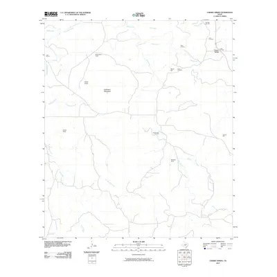
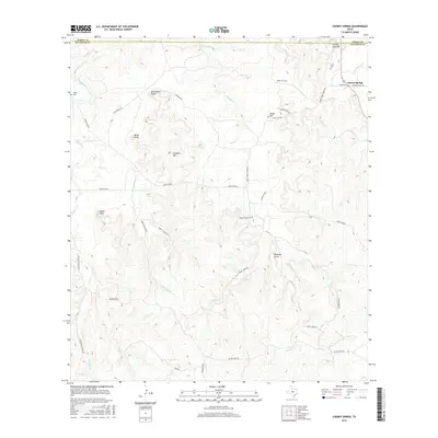
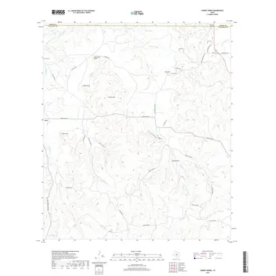
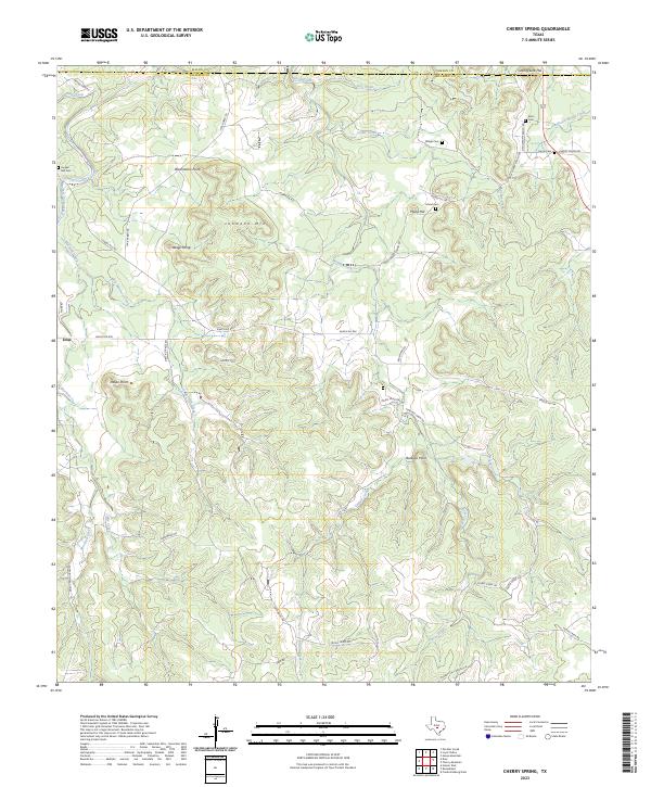
1967 Cherry Spring
Gillespie County, TX
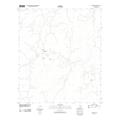
1967 Crabapple
Gillespie County, TX
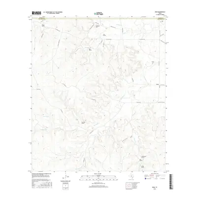
1967 Doss
Gillespie County, TX
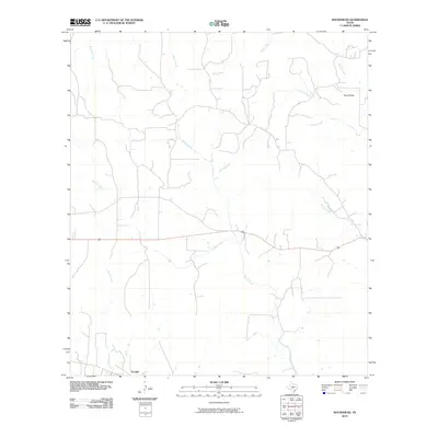
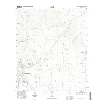
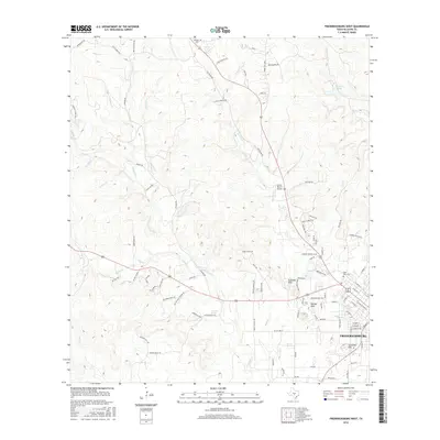
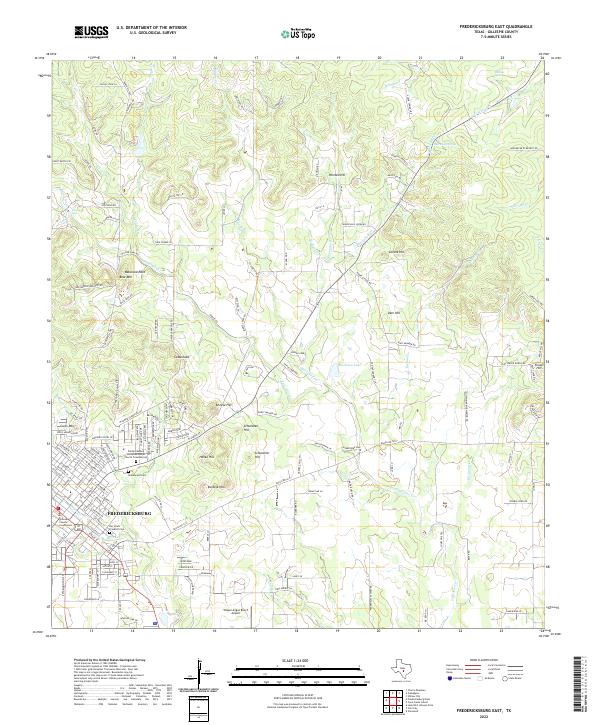
1967 Fredericksburg East
Gillespie County, TX
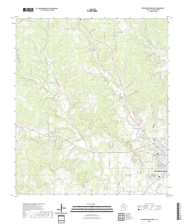
1967 Fredericksburg West
Gillespie County, TX
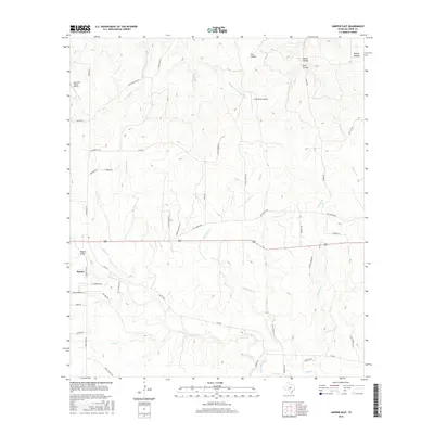
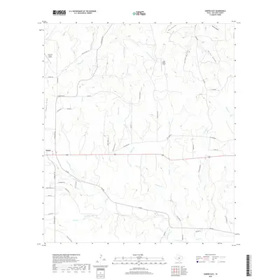
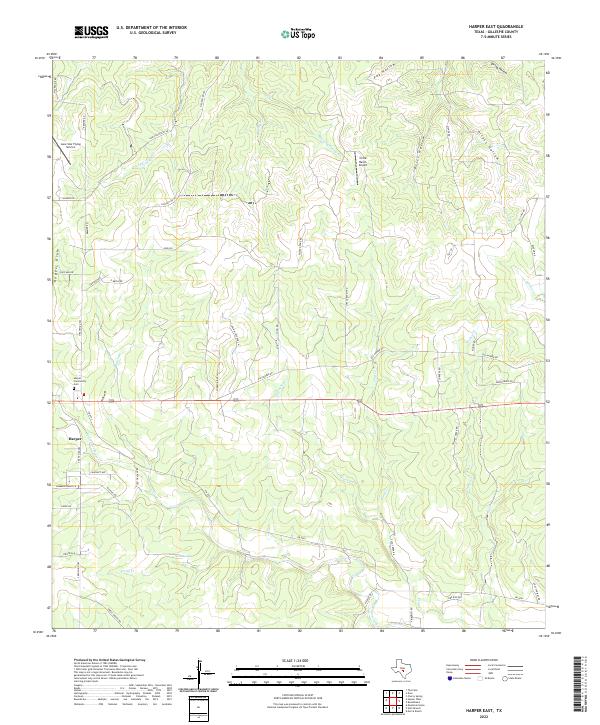
1967 Harper East
Gillespie County, TX
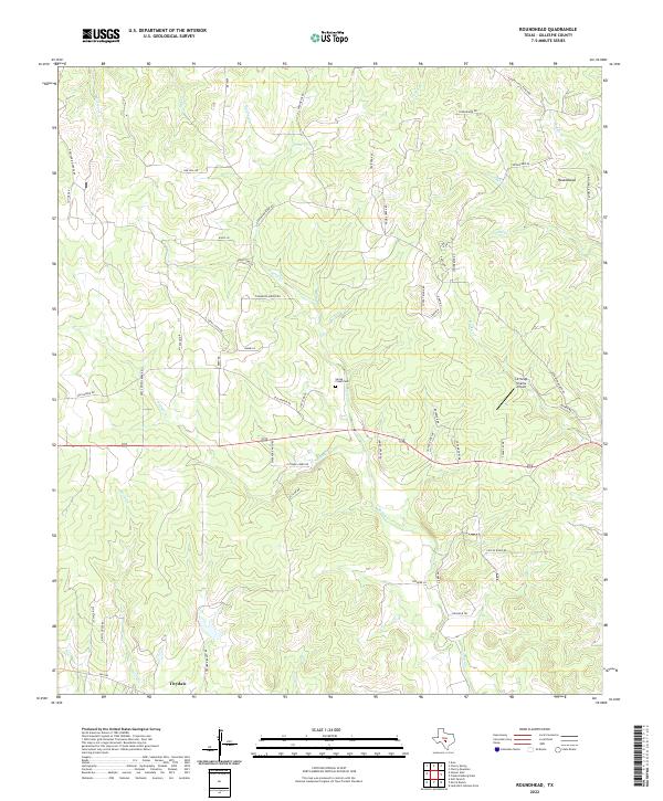
1967 Roundhead
Gillespie County, TX
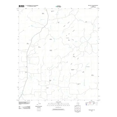
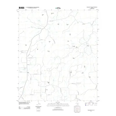
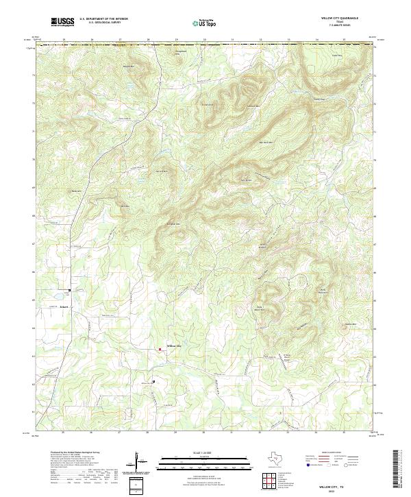
1967 Willow City
Gillespie County, TX
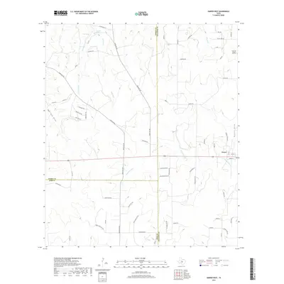
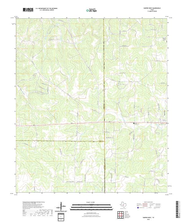
1974 Harper West
Gillespie County, TX
2010 Cain City
Gillespie County, TX
2010 Cave Creek School
Gillespie County, TX
2010 Cherry Mountain
Gillespie County, TX
2010 Cherry Spring
Gillespie County, TX
2010 Crabapple
Gillespie County, TX
2010 Doss
Gillespie County, TX
2010 Fredericksburg East
Gillespie County, TX
2010 Fredericksburg West
Gillespie County, TX
2010 Harper East
Gillespie County, TX
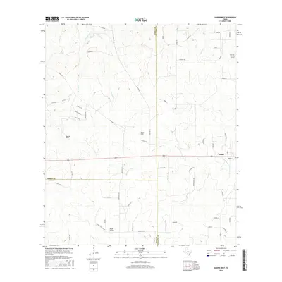
2010 Harper West
Gillespie County, TX
2010 Lady Bird Johnson Park
Gillespie County, TX
2010 Morris Ranch
Gillespie County, TX
2010 Nott Branch
Gillespie County, TX
2010 Roundhead
Gillespie County, TX
2010 Willow City
Gillespie County, TX
2012 Cain City
Gillespie County, TX
2012 Cave Creek School
Gillespie County, TX
2012 Cherry Mountain
Gillespie County, TX
2012 Cherry Spring
Gillespie County, TX
2012 Crabapple
Gillespie County, TX
2012 Doss
Gillespie County, TX
2012 Fredericksburg East
Gillespie County, TX
2012 Fredericksburg West
Gillespie County, TX
2012 Harper East
Gillespie County, TX
2012 Harper West
Gillespie County, TX
2012 Lady Bird Johnson Park
Gillespie County, TX
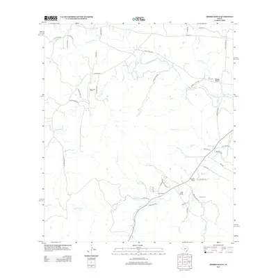
2012 Morris Ranch
Gillespie County, TX
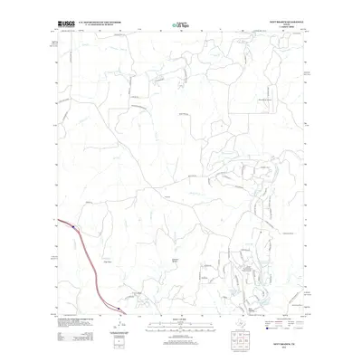
2012 Nott Branch
Gillespie County, TX
2012 Roundhead
Gillespie County, TX
2012 Willow City
Gillespie County, TX
2016 Cain City
Gillespie County, TX
2016 Cave Creek School
Gillespie County, TX
2016 Cherry Mountain
Gillespie County, TX
2016 Cherry Spring
Gillespie County, TX
2016 Crabapple
Gillespie County, TX
2016 Doss
Gillespie County, TX
2016 Fredericksburg East
Gillespie County, TX
2016 Fredericksburg West
Gillespie County, TX
2016 Harper East
Gillespie County, TX
2016 Harper West
Gillespie County, TX
2016 Lady Bird Johnson Park
Gillespie County, TX
2016 Morris Ranch
Gillespie County, TX
2016 Nott Branch
Gillespie County, TX
2016 Roundhead
Gillespie County, TX
2016 Willow City
Gillespie County, TX
2019 Cain City
Gillespie County, TX
2019 Cave Creek School
Gillespie County, TX
2019 Cherry Mountain
Gillespie County, TX
2019 Cherry Spring
Gillespie County, TX
2019 Crabapple
Gillespie County, TX
2019 Doss
Gillespie County, TX
2019 Fredericksburg East
Gillespie County, TX
2019 Fredericksburg West
Gillespie County, TX
2019 Harper East
Gillespie County, TX
2019 Harper West
Gillespie County, TX
2019 Lady Bird Johnson Park
Gillespie County, TX
2019 Morris Ranch
Gillespie County, TX
2019 Nott Branch
Gillespie County, TX
2019 Roundhead
Gillespie County, TX
2019 Willow City
Gillespie County, TX
2022 Cain City
Gillespie County, TX
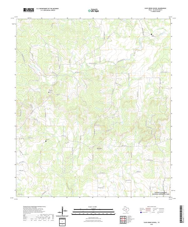
2022 Cave Creek School
Gillespie County, TX
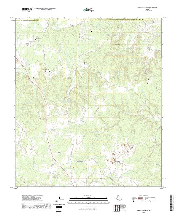
2022 Cherry Mountain
Gillespie County, TX
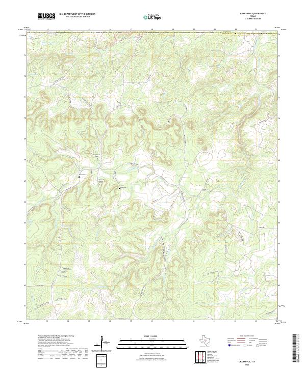
2022 Crabapple
Gillespie County, TX
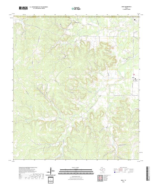
2022 Doss
Gillespie County, TX
2022 Fredericksburg East
Gillespie County, TX
2022 Fredericksburg West
Gillespie County, TX
2022 Harper East
Gillespie County, TX
2022 Harper West
Gillespie County, TX
2022 Lady Bird Johnson Park
Gillespie County, TX
2022 Morris Ranch
Gillespie County, TX
2022 Nott Branch
Gillespie County, TX
2022 Roundhead
Gillespie County, TX
2022 Willow City
Gillespie County, TX
2023 Cherry Spring
Gillespie County, TX