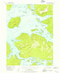
1951 Map of Craig B-4
USGS Topo · Published 1955About this map
Craig serves as a primary hub of activity on this mid-century survey of the Alexander Archipelago, situated on the western coast of Prince of Wales Island. The landscape is defined by the complex industrial and maritime patterns of the early 1950s, notably the Waterfall Cannery to the south, which is supported by a dedicated Aqueduct. These features illustrate the deep reliance on the salmon industry and seasonal labor that shaped the region's early development.
Find a feature on this map
73 named features on this map. Tap any name to fly to it.
Don’t see what you’re looking for? This feature index may not catch every label — zoom into the map to look around manually.
Map Details
Editions of this 1951 Craig B-4 Map
3 editions found
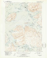
Other maps of this area

1948 · Craig A-4
USGS Topo · 1:63,360

1948 · Craig B-5
USGS Topo · 1:63,360

1948 · Craig A-5
USGS Topo · 1:63,360

1948 · Craig A-3
USGS Topo · 1:63,360

1949 · Craig B-3
USGS Topo · 1:63,360

1949 · Craig C-3
USGS Topo · 1:63,360

1949 · Craig C-4
USGS Topo · 1:63,360

1949 · Craig B-4
USGS Topo · 1:63,360

1951 · Craig C-3
USGS Topo · 1:63,360

1951 · Craig B-4
USGS Topo · 1:63,360