
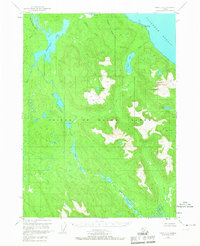
1949 Map of Craig D-3
USGS Topo · Published 1954About this map
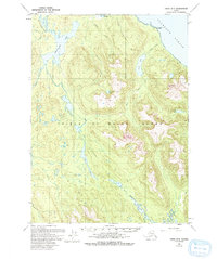
Prince of Wales Island is depicted here in a late 1940s survey that shows the untracked wilderness within the Tongass National Forest. The landscape is dominated by a complex network of freshwater systems and coastal indentations, most notably Coffman Cove along the Clarence Strait. Inland, significant water bodies like Sweetwater Lake and the long course of Hatchery Creek suggest the natural drainage patterns of this territory before any formal road infrastructure was established.
Find a feature on this map
22 named features on this map. Tap any name to fly to it.
Don’t see what you’re looking for? This feature index may not catch every label — zoom into the map to look around manually.
Map Details
Editions of this 1949 Craig D-3 Map
3 editions found
Other maps of this area

1948 · Petersburg A-2
USGS Topo · 1:63,360

1949 · Craig C-2
USGS Topo · 1:63,360

1949 · Craig D-2
USGS Topo · 1:63,360

1949 · Petersburg A-3
USGS Topo · 1:63,360

1949 · Craig D-4
USGS Topo · 1:63,360

1949 · Petersburg A-4
USGS Topo · 1:63,360

1949 · Craig C-3
USGS Topo · 1:63,360

1949 · Craig C-4
USGS Topo · 1:63,360

1950 · Craig D-3
USGS Topo · 1:63,360

1951 · Craig C-3
USGS Topo · 1:63,360