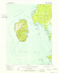
1951 Map of Craig D-6
USGS Topo · Published 1952About this map
Warren Island and the rugged western shore of Kosciusko Island dominate this coastal survey, defined by the deep water of the Sumner Strait and the intricate channels of Southeast Alaska. Based on 1948 aerial photography, the map documents the remote settlement at Cape Pole and several small isolated structures identified as Cabin sites near protected waters. Navigation remains the central theme of the landscape, with landmarks like Pole Anchorage and Fishermans Harbor providing refuge from the open sea.
Find a feature on this map
29 named features on this map. Tap any name to fly to it.
Don’t see what you’re looking for? This feature index may not catch every label — zoom into the map to look around manually.
Map Details
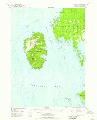
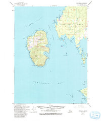
Editions of this 1951 Craig D-6 Map
4 editions found
Other maps of this area

1948 · Petersburg A-6
USGS Topo · 1:63,360

1948 · Port Alexander A-1
USGS Topo · 1:63,360

1949 · Petersburg A-5
USGS Topo · 1:63,360

1951 · Craig C-6
USGS Topo · 1:63,360

1951 · Craig D-6
USGS Topo · 1:63,360

1951 · Craig C-5
USGS Topo · 1:63,360

1951 · Craig D-5
USGS Topo · 1:63,360

1951 · Port Alexander
USGS Topo · 1:250,000

1951 · Petersburg A-6
USGS Topo · 1:63,360

1952 · Petersburg
USGS Topo · 1:250,000