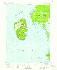
1951 Map of Craig D-6
USGS Topo · Published 1958About this map
Kosciusko Island and Warren Island dominate this mid-century maritime survey of the Alexander Archipelago. Reached only by sea, the landscape is defined by the steep elevations of Warren Peak and Bald Peak, dropping sharply into the complex waters of Sumner Strait and Iphigenia Bay. The geography reveals a network of sheltered havens critical to coastal navigation, including Fishermans Harbor, Pole Anchorage, and Halibut Harbor.
Find a feature on this map
30 named features on this map. Tap any name to fly to it.
Don’t see what you’re looking for? This feature index may not catch every label — zoom into the map to look around manually.
Map Details
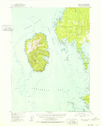
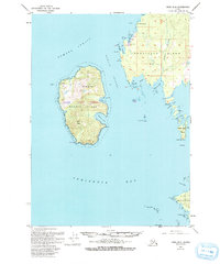
Editions of this 1951 Craig D-6 Map
4 editions found
Other maps of this area

1948 · Petersburg A-6
USGS Topo · 1:63,360

1948 · Port Alexander A-1
USGS Topo · 1:63,360

1949 · Petersburg A-5
USGS Topo · 1:63,360

1951 · Craig C-6
USGS Topo · 1:63,360

1951 · Craig D-6
USGS Topo · 1:63,360

1951 · Craig C-5
USGS Topo · 1:63,360

1951 · Craig D-5
USGS Topo · 1:63,360

1951 · Port Alexander
USGS Topo · 1:250,000

1951 · Petersburg A-6
USGS Topo · 1:63,360

1952 · Petersburg
USGS Topo · 1:250,000