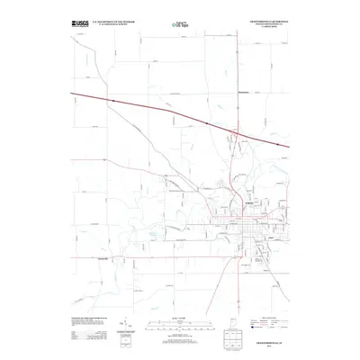
2013 Map of Crawfordsville
USGS Topo · Published 2013About this map
Sugar Cr winds through the heart of this Montgomery County landscape, shaping the growth of Fiskville and the eastern expansion of Crawfordsville. The map captures a mix of residential development and rural utility, with settlements like Ames and Manchester situated along primary road corridors. To the west, the community of Yountsville sits near the confluence of Mill Cr and the main creek, marking a historically significant point in the county's hydraulic geography. Numerous smaller waterways, including Dry Br, Black Cr, and Offield Cr, drain the surrounding farmland, while the Sportsmans Club Lake provides a localized recreational landmark. The grid-like county road system, featuring labels such as Co RD-500 and N Old State Road 55, illustrates the persistent agrarian framework that underpins this modern topographic study.
Find a feature on this map
127 named features on this map. Tap any name to fly to it.
Don’t see what you’re looking for? This feature index may not catch every label — zoom into the map to look around manually.
Map Details
Editions of this 2013 Crawfordsville Map
This is the sole edition of this map. No revisions or reprints were ever made.
Other maps of this area

1949 · Alamo
USGS Topo · 1:24,000

1953 · Danville
USGS Topo · 1:250,000

1953 · Indianapolis
USGS Topo · 1:250,000

1955 · Danville
USGS Topo · 1:250,000

1956 · Danville
USGS Topo · 1:250,000

1956 · Indianapolis
USGS Topo · 1:250,000

1956 · Crawfordsville
USGS Topo · 1:24,000

1956 · New Market
USGS Topo · 1:24,000

1957 · Indianapolis
USGS Topo · 1:250,000

1958 · Darlington
USGS Topo · 1:24,000