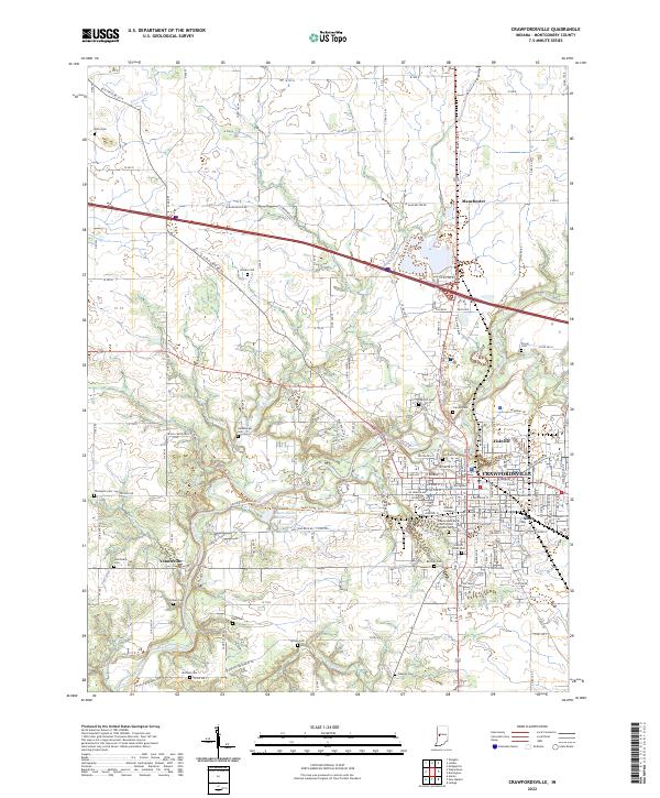
2022 Map of Crawfordsville
USGS Topo · Published 2022About this map
Crawfordsville serves as the regional anchor of this Montgomery County landscape, where the academic grounds of Wabash College and the Montgomery County Courthouse define the city center. The surrounding terrain is deeply etched by Sugar Creek and its tributaries, including Offield Creek and Walnut Fork. This network of waterways historically influenced the placement of outlying settlements like Yountsville and Manchester.
Find a feature on this map
86 named features on this map. Tap any name to fly to it.
Don’t see what you’re looking for? This feature index may not catch every label — zoom into the map to look around manually.
Map Details
Editions of this 2022 Crawfordsville Map
This is the sole edition of this map. No revisions or reprints were ever made.
Other maps of this area

1949 · Alamo
USGS Topo · 1:24,000

1953 · Danville
USGS Topo · 1:250,000

1953 · Indianapolis
USGS Topo · 1:250,000

1955 · Danville
USGS Topo · 1:250,000

1956 · Danville
USGS Topo · 1:250,000

1956 · Indianapolis
USGS Topo · 1:250,000

1956 · Crawfordsville
USGS Topo · 1:24,000

1956 · New Market
USGS Topo · 1:24,000

1957 · Indianapolis
USGS Topo · 1:250,000

1958 · Darlington
USGS Topo · 1:24,000