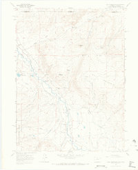
1967 Map of Crazy Mountain
USGS Topo · Published 1971About this map
The Laramie River carves a valley through this high mountain region along the border of Albany and Larimer counties, where a complex network of irrigation channels like the Forrester Ditch, Yelton Ditch, and Smith Brown Ditch defines the local land use. The small settlement of Glendevey and the nearby Glendevey Sch serve as the focal point for this rural area, situated near the western edge of Bull Mountain.
Find a feature on this map
40 named features on this map. Tap any name to fly to it.
Don’t see what you’re looking for? This feature index may not catch every label — zoom into the map to look around manually.
Map Details
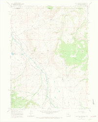
Editions of this 1967 Crazy Mountain Map
2 editions found
Other maps of this area

1895 · Laramie
USGS Topo · 1:125,000

1902 · Laramie
USGS Topo · 1:125,000

1905 · Laramie
USGS Topo · 1:125,000

1906 · Medicine Bow
USGS Topo · 1:125,000

1906 · Laramie
USGS Topo · 1:125,000

1908 · Laramie
USGS Topo · 1:125,000

1908 · Medicine Bow
USGS Topo · 1:125,000

1916 · Home
USGS Topo · 1:125,000

1920 · Home
USGS Topo · 1:125,000

1954 · Cheyenne
USGS Topo · 1:250,000