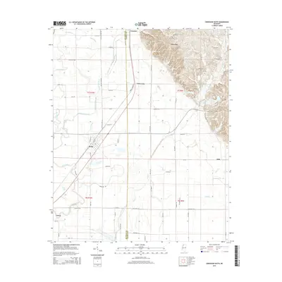
2015 Map of Crenshaw South
USGS Topo · Published 2015About this map
Sledge stands as a primary settlement in this corner of the Mississippi Delta, positioned where the grid of the agricultural landscape meets a network of waterways. The terrain is defined by the intricate winding of David Bayou, Indian Creek, and Yellow Lake Bayou, which drain the low-lying plains. This map illustrates the transition from the flat alluvial bottomlands in the west to the slightly more textured topography near White Oak in the northeast.
Find a feature on this map
70 named features on this map. Tap any name to fly to it.
Don’t see what you’re looking for? This feature index may not catch every label — zoom into the map to look around manually.
Map Details
Editions of this 2015 Crenshaw South Map
This is the sole edition of this map. No revisions or reprints were ever made.
Other maps of this area

1908 · Walnut Lake
USGS Topo · 1:24,000

1910 · Walnut Lake
USGS Topo · 1:31,680

1932 · Sledge
USGS Topo · 1:48,000

1932 · Marks
USGS Topo · 1:48,000

1932 · Crenshaw
USGS Topo · 1:62,500

1935 · Marks
USGS Topo · 1:62,500

1935 · Crenshaw
USGS Topo · 1:62,500

1935 · Sledge
USGS Topo · 1:62,500

1939 · Clayton
USGS Topo · 1:62,500

1939 · Sledge
USGS Topo · 1:62,500