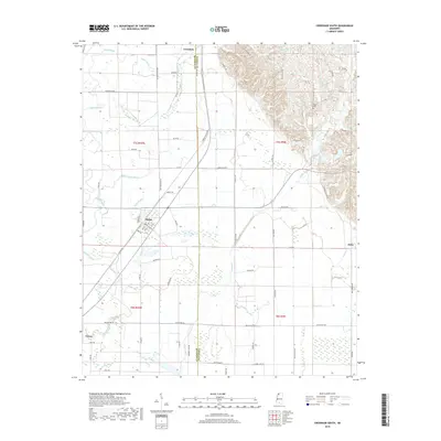
2018 Map of Crenshaw South
USGS Topo · Published 2018About this map
The town of Sledge serves as a primary hub in this agricultural landscape near the border of Quitman and Panola counties. This 2018 survey reveals a terrain defined by a complex network of waterways, including David Bayou, Yellow Lake Bayou, and Loggie Bayou, which wind through the low-lying fields. The settlement of Crenshaw is positioned at the northern edge, while the smaller communities of Delta and Falcon sit to the east and southwest.
Find a feature on this map
67 named features on this map. Tap any name to fly to it.
Don’t see what you’re looking for? This feature index may not catch every label — zoom into the map to look around manually.
Map Details
Editions of this 2018 Crenshaw South Map
This is the sole edition of this map. No revisions or reprints were ever made.
Other maps of this area

1908 · Walnut Lake
USGS Topo · 1:24,000

1910 · Walnut Lake
USGS Topo · 1:31,680

1932 · Sledge
USGS Topo · 1:48,000

1932 · Marks
USGS Topo · 1:48,000

1932 · Crenshaw
USGS Topo · 1:62,500

1935 · Marks
USGS Topo · 1:62,500

1935 · Crenshaw
USGS Topo · 1:62,500

1935 · Sledge
USGS Topo · 1:62,500

1939 · Clayton
USGS Topo · 1:62,500

1939 · Sledge
USGS Topo · 1:62,500