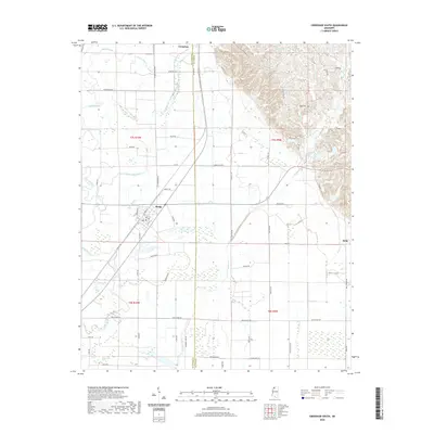
2020 Map of Crenshaw South
USGS Topo · Published 2020About this map
Sledge and the southern outskirts of Crenshaw anchor this Delta landscape at the border of Quitman and Panola Counties. The geography is defined by a dense network of slow-moving water, where the intricate channels of David Bayou, Hope Bayou, and Yellow Lake Bayou meander through low-lying terrain. To the south, the environment shifts into wetlands marked by Flag Lake, Chinquapin Brake, and Burrell Brake, illustrating the classic bottomland characteristics of the Mississippi alluvial plain. Small family and community landmarks, such as Rogers Cemetery to the northeast, are scattered along a grid of rural roads like Ballentine Road and Old Crenshaw Road. These routes connect isolated farmsteads and the small settlement of Delta near the eastern boundary, reflecting the region's enduring reliance on the land and its complex drainage systems.
Find a feature on this map
69 named features on this map. Tap any name to fly to it.
Don’t see what you’re looking for? This feature index may not catch every label — zoom into the map to look around manually.
Map Details
Editions of this 2020 Crenshaw South Map
This is the sole edition of this map. No revisions or reprints were ever made.
Other maps of this area

1908 · Walnut Lake
USGS Topo · 1:24,000

1910 · Walnut Lake
USGS Topo · 1:31,680

1932 · Sledge
USGS Topo · 1:48,000

1932 · Marks
USGS Topo · 1:48,000

1932 · Crenshaw
USGS Topo · 1:62,500

1935 · Marks
USGS Topo · 1:62,500

1935 · Crenshaw
USGS Topo · 1:62,500

1935 · Sledge
USGS Topo · 1:62,500

1939 · Clayton
USGS Topo · 1:62,500

1939 · Sledge
USGS Topo · 1:62,500