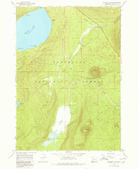
1967 Map of Crescent Lake
USGS Topo · Published 1980About this map
Deschutes National Forest encompasses this high-elevation landscape, dominated by the eastern shore of Crescent Lake and its intricate shoreline features like Simax Bay and Zims Point. The topography is marked by several volcanic peaks, including Little Odell Butte and Beales Butte, which rise above the surrounding timberland. A significant portion of the southeastern quadrangle is occupied by Big Marsh, a complex wetland system fed by Big Marsh Creek. The Southern Pacific railroad line provides the primary transportation corridor through this wilderness, passing through the small settlement of Umli. This 1967 field check documents the area's mix of recreation and resource management, showing campgrounds near Rainbow Point and the natural cold storage of Refrigerator.
Find a feature on this map
20 named features on this map. Tap any name to fly to it.
Don’t see what you’re looking for? This feature index may not catch every label — zoom into the map to look around manually.
Map Details
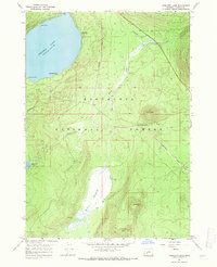
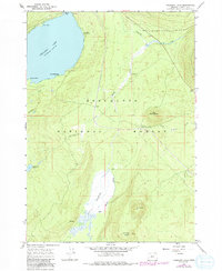
Editions of this 1967 Crescent Lake Map
3 editions found
Other maps of this area

1917 · Diamond Lake
USGS Topo · 1:125,000

1925 · Waldo Lake
USGS Topo · 1:125,000

1930 · Maiden Peak
USGS Topo · 1:125,000

1934 · Maiden Peak
USGS Topo · 1:125,000

1935 · Chemult
USGS Topo · 1:96,000

1941 · Chemult
USGS Topo · 1:125,000

1955 · Crescent
USGS Topo · 1:250,000

1956 · Waldo Lake
USGS Topo · 1:62,500

1956 · Summit Lake
USGS Topo · 1:62,500

1957 · Crescent
USGS Topo · 1:250,000