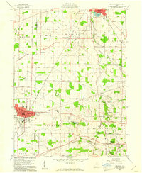
1960 Map of Crestline
USGS Topo · Published 1962About this map
Industrial rail corridors converge at Crestline, where the Pennsylvania Railroad, New York Central Railroad, and Erie Lackawanna Railroad create a dense transportation hub. The town is anchored by local institutions like St Josephs Sch and the municipal City Hall, while the surrounding countryside in Crawford and Richland counties reveals a mix of small settlements and agricultural infrastructure. To the north, the city of Shelby sits near a large Reservoir, while the rural landscape is dotted with family-named routes such as Mickey Rd and Finnegan Road.
Find a feature on this map
58 named features on this map. Tap any name to fly to it.
Don’t see what you’re looking for? This feature index may not catch every label — zoom into the map to look around manually.
Map Details
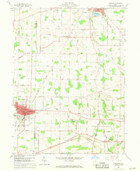
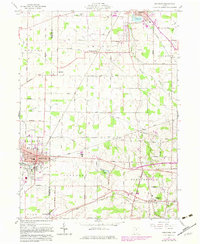
Editions of this 1960 Crestline Map
3 editions found
Other maps of this area

1913 · Mount Gilead
USGS Topo · 1:62,500

1915 · Bucyrus
USGS Topo · 1:62,500

1915 · Crestline
USGS Topo · 1:62,500

1915 · Shauck
USGS Topo · 1:62,500

1916 · Mount Gilead
USGS Topo · 1:62,500

1943 · Shauck
USGS Topo · 1:62,500

1943 · Bucyrus
USGS Topo · 1:62,500

1943 · Crestline
USGS Topo · 1:62,500

1943 · Mount Gilead
USGS Topo · 1:62,500

1950 · Marion
USGS Topo · 1:250,000