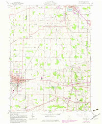
1960 Map of Crestline
USGS Topo · Published 1983About this map
Crestline and Shelby serve as the primary hubs of this mid-century survey, which documents the industrial and transportation corridor along the Crawford and Richland line. The landscape is defined by the heavy presence of the Conrail and Baltimore And Ohio railroads, which intersect at strategic points like Vernon Junction. This rail infrastructure supported a dense network of farming and small-scale industry, evidenced by features such as the Gravel Pit and numerous roadside homesteads. Local social life is anchored by traditional landmarks like St Josephs Sch, Green Lawn Cem, and the Drive-in Theater near Crestline.
Find a feature on this map
58 named features on this map. Tap any name to fly to it.
Don’t see what you’re looking for? This feature index may not catch every label — zoom into the map to look around manually.
Map Details
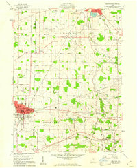
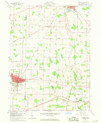
Editions of this 1960 Crestline Map
3 editions found
Other maps of this area

1913 · Mount Gilead
USGS Topo · 1:62,500

1915 · Bucyrus
USGS Topo · 1:62,500

1915 · Crestline
USGS Topo · 1:62,500

1915 · Shauck
USGS Topo · 1:62,500

1916 · Mount Gilead
USGS Topo · 1:62,500

1943 · Shauck
USGS Topo · 1:62,500

1943 · Bucyrus
USGS Topo · 1:62,500

1943 · Crestline
USGS Topo · 1:62,500

1943 · Mount Gilead
USGS Topo · 1:62,500

1950 · Marion
USGS Topo · 1:250,000