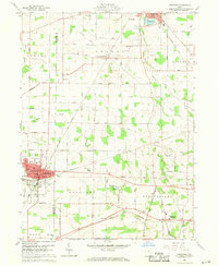
1960 Map of Crestline
USGS Topo · Published 1970About this map
The industrial and transportation hub of Crestline anchors this 1960 survey, situated at a critical crossing of the Pennsylvania, Baltimore and Ohio, and Erie Lackawanna railroads. This network of tracks defined the local economy, connecting smaller settlements like Vernon Junction and Bethlehem to the larger regional markets. Beyond the rail lines, the landscape is marked by civic landmarks including City Hall, the Hospital, and St Josephs Sch.
Find a feature on this map
54 named features on this map. Tap any name to fly to it.
Don’t see what you’re looking for? This feature index may not catch every label — zoom into the map to look around manually.
Map Details
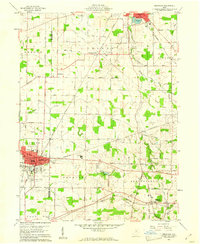
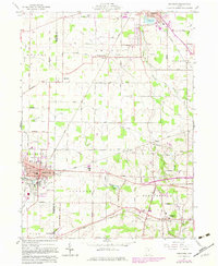
Editions of this 1960 Crestline Map
3 editions found
Other maps of this area

1913 · Mount Gilead
USGS Topo · 1:62,500

1915 · Bucyrus
USGS Topo · 1:62,500

1915 · Crestline
USGS Topo · 1:62,500

1915 · Shauck
USGS Topo · 1:62,500

1916 · Mount Gilead
USGS Topo · 1:62,500

1943 · Shauck
USGS Topo · 1:62,500

1943 · Bucyrus
USGS Topo · 1:62,500

1943 · Crestline
USGS Topo · 1:62,500

1943 · Mount Gilead
USGS Topo · 1:62,500

1950 · Marion
USGS Topo · 1:250,000