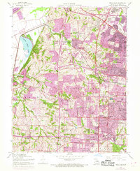
1954 Map of Creve Coeur
USGS Topo · Published 1969About this map
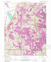
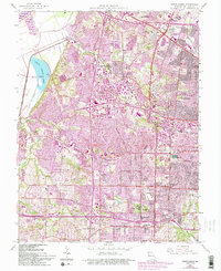
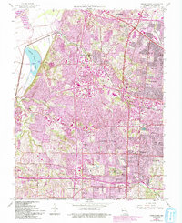
The Lambert-St Louis Airport anchors the northeastern corner of this suburban landscape, showing the rapid expansion of aviation infrastructure during the mid-century. Stretching westward toward the Missouri River, the terrain transitions from the densely gridded streets of St Ann and Overland to the open recreational spaces surrounding Creve Coeur Lake. The map reveals a sophisticated network of private and parochial institutions that define the local social geography, including the Chaminade Sch, Mary Institute, and Villa Duchesne Sch. This period captures the region as it evolves from small farming settlements like Vigus and Pattonville into established residential suburbs. Rail lines, specifically the Chicago Rock Island and Pacific, still cut through the hills near Maryland Heights, while the newly designated Interstate 70 signals the coming dominance of the automobile in St. Louis County.
Find a feature on this map
63 named features on this map. Tap any name to fly to it.
Don’t see what you’re looking for? This feature index may not catch every label — zoom into the map to look around manually.
Map Details
Editions of this 1954 Creve Coeur Map
7 editions found
Other maps of this area

1903 · O'Fallon
USGS Topo · 1:125,000

1924 · Robertson
USGS Topo · 1:24,000

1927 · St. Charles
USGS Topo · 1:62,500

1931 · Manchester SE
USGS Topo · 1:24,000

1931 · Brussels
USGS Topo · 1:62,500

1932 · Manchester NE
USGS Topo · 1:24,000

1933 · Creve Coeur
USGS Topo · 1:24,000

1933 · Jefferson Barracks
USGS Topo · 1:24,000

1933 · Clayton
USGS Topo · 1:24,000

1933 · Saint Charles
USGS Topo · 1:62,500