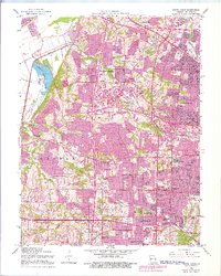
1954 Map of Creve Coeur
USGS Topo · Published 1976About this map
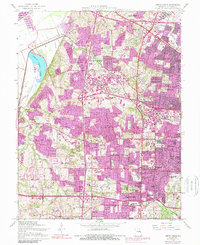
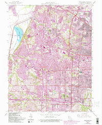
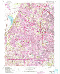
Creve Coeur Lake and its surrounding wetlands dominate the northwestern corner of this landscape, where the Missouri River cuts against the bluffs. This mid-century survey documents the transition of St. Louis County from established rural hamlets like Vigus and Altheim into a dense suburban corridor. The infrastructure of the era is clearly defined by the Chicago Rock Island and Pacific railroad and the emerging Twain Expressway, which facilitate the rapid growth seen in Maryland Heights and St Ann.
Find a feature on this map
63 named features on this map. Tap any name to fly to it.
Don’t see what you’re looking for? This feature index may not catch every label — zoom into the map to look around manually.
Map Details
Editions of this 1954 Creve Coeur Map
7 editions found
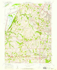
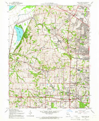
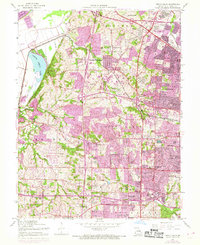
Other maps of this area

1903 · O'Fallon
USGS Topo · 1:125,000

1924 · Robertson
USGS Topo · 1:24,000

1927 · St. Charles
USGS Topo · 1:62,500

1931 · Manchester SE
USGS Topo · 1:24,000

1931 · Brussels
USGS Topo · 1:62,500

1932 · Manchester NE
USGS Topo · 1:24,000

1933 · Creve Coeur
USGS Topo · 1:24,000

1933 · Jefferson Barracks
USGS Topo · 1:24,000

1933 · Clayton
USGS Topo · 1:24,000

1933 · Saint Charles
USGS Topo · 1:62,500