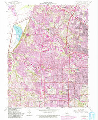
1954 Map of Creve Coeur
USGS Topo · Published 1993About this map
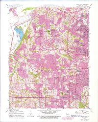
The Missouri River and Creve Coeur Lake define the western edge of this suburban landscape, which was undergoing rapid post-war expansion. The purple-shaded revisions from 1990 over the 1954 base map illustrate the massive growth of communities like Maryland Heights, Bridgeton, and Overland. This era of development is punctuated by significant institutional and recreational landmarks, including the St Louis Country Club and the Mc Donnell County Park. Educational expansion is evident in the numerous parochial and public sites like Villa Duchesne Sch and Chaminade Sch.
Find a feature on this map
60 named features on this map. Tap any name to fly to it.
Don’t see what you’re looking for? This feature index may not catch every label — zoom into the map to look around manually.
Map Details
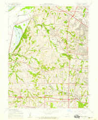
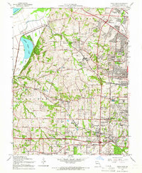
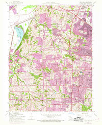
Editions of this 1954 Creve Coeur Map
7 editions found
Other maps of this area

1903 · O'Fallon
USGS Topo · 1:125,000

1924 · Robertson
USGS Topo · 1:24,000

1927 · St. Charles
USGS Topo · 1:62,500

1931 · Manchester SE
USGS Topo · 1:24,000

1931 · Brussels
USGS Topo · 1:62,500

1932 · Manchester NE
USGS Topo · 1:24,000

1933 · Creve Coeur
USGS Topo · 1:24,000

1933 · Jefferson Barracks
USGS Topo · 1:24,000

1933 · Clayton
USGS Topo · 1:24,000

1933 · Saint Charles
USGS Topo · 1:62,500