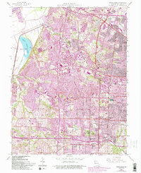
1954 Map of Creve Coeur
USGS Topo · Published 1993About this map
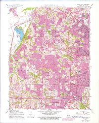
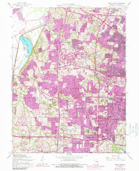
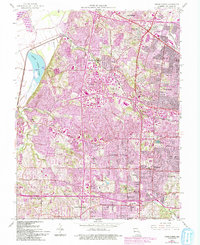
The Missouri River defines the northwestern boundary of this mid-century landscape, where the floodplain gives way to the burgeoning suburban growth of St. Louis County. This map highlights the shift from rural holdings to organized townships, with developments like Maryland Heights and St Ann expanding near established thoroughfares such as Old St Charles Road. The central presence of Creve Coeur Park and Creve Coeur Lake provides a natural anchor amidst a grid of increasing residential density.
Find a feature on this map
66 named features on this map. Tap any name to fly to it.
Don’t see what you’re looking for? This feature index may not catch every label — zoom into the map to look around manually.
Map Details
Editions of this 1954 Creve Coeur Map
7 editions found
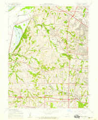
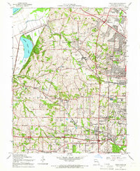
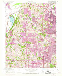
Other maps of this area

1903 · O'Fallon
USGS Topo · 1:125,000

1924 · Robertson
USGS Topo · 1:24,000

1927 · St. Charles
USGS Topo · 1:62,500

1931 · Manchester SE
USGS Topo · 1:24,000

1931 · Brussels
USGS Topo · 1:62,500

1932 · Manchester NE
USGS Topo · 1:24,000

1933 · Creve Coeur
USGS Topo · 1:24,000

1933 · Jefferson Barracks
USGS Topo · 1:24,000

1933 · Clayton
USGS Topo · 1:24,000

1933 · Saint Charles
USGS Topo · 1:62,500