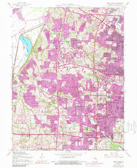
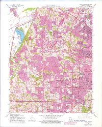
1954 Map of Creve Coeur
USGS Topo · Published 1989About this map
The Missouri River and Creve Coeur Lake dominate the northwestern landscape of this mid-century St. Louis County survey. Intense post-war development is evident across the townships of Bonhomme and Clayton, where older agricultural pockets like Vigus and Altheim meet rapidly expanding suburbs. The era's transportation network is anchored by the Chicago Rock Island and Pacific railroad and the burgeoning Lambert St Louis Airport in the northeast.
Find a feature on this map
65 named features on this map. Tap any name to fly to it.
Don’t see what you’re looking for? This feature index may not catch every label — zoom into the map to look around manually.
Map Details
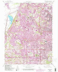
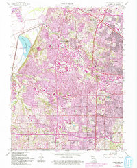
Editions of this 1954 Creve Coeur Map
7 editions found
Other maps of this area

1903 · O'Fallon
USGS Topo · 1:125,000

1924 · Robertson
USGS Topo · 1:24,000

1927 · St. Charles
USGS Topo · 1:62,500

1931 · Manchester SE
USGS Topo · 1:24,000

1931 · Brussels
USGS Topo · 1:62,500

1932 · Manchester NE
USGS Topo · 1:24,000

1933 · Creve Coeur
USGS Topo · 1:24,000

1933 · Jefferson Barracks
USGS Topo · 1:24,000

1933 · Clayton
USGS Topo · 1:24,000

1933 · Saint Charles
USGS Topo · 1:62,500