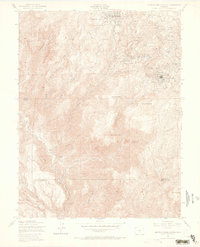
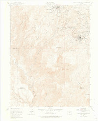
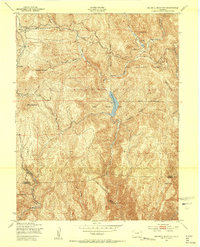
1951 Map of Cripple Creek South
USGS Topo · Published 1969About this map
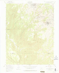
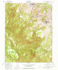
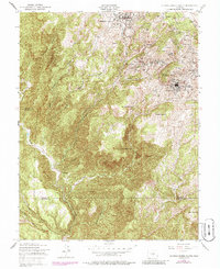
Cripple Creek and the surrounding mining district appear here at the middle of the twentieth century, showing a landscape defined by nearly a century of heavy extraction. The map documents an dense network of named mines, including the Golden Cycle Mine, the Vindicator Mine, and the Portland Mine, which are clustered around high-altitude settlements like Altman, Elkton, and Goldfield. The terrain is famously steep, marked by prominent peaks such as Squaw Mountain and Straub Mountain, with the local population centers concentrated in the northern portion of the quadrangle where the gold rush originally transformed the Teller County hills. Farther south, the density of industry gives way to the more isolated canyons and ridges of the Teller Co Fremont Co line, including Helena Canyon and Mitre Peak. This document provides a detailed record of the physical footprint left by the Cripple Creek mining boom, from the Mt Pisgah Cemetery to the intricate system of gulches like Poverty Gulch and Arequa Gulch that channeled the area's development.
Find a feature on this map
57 named features on this map. Tap any name to fly to it.
Don’t see what you’re looking for? This feature index may not catch every label — zoom into the map to look around manually.
Map Details
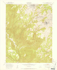
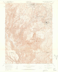
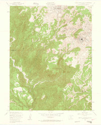
Editions of this 1951 Cripple Creek South Map
9 editions found
Other maps of this area

1894 · Pikes Peak
USGS Topo · 1:125,000

1901 · Pikes Peak
USGS Topo · 1:125,000

1901 · Pikes Peak
USGS Topo · 1:62,500

1942 · Cover Mtn.
USGS Topo · 1:62,500

1948 · Cover Mtn.
USGS Topo · 1:62,500

1951 · Cripple Creek South
USGS Topo · 1:24,000
1951 · Big Bull Mountain
USGS Topo · 1:24,000

1951 · Pikes Peak
USGS Topo · 1:24,000

1951 · Cripple Creek North
USGS Topo · 1:24,000
1954 · Phantom Canyon
USGS Topo · 1:24,000